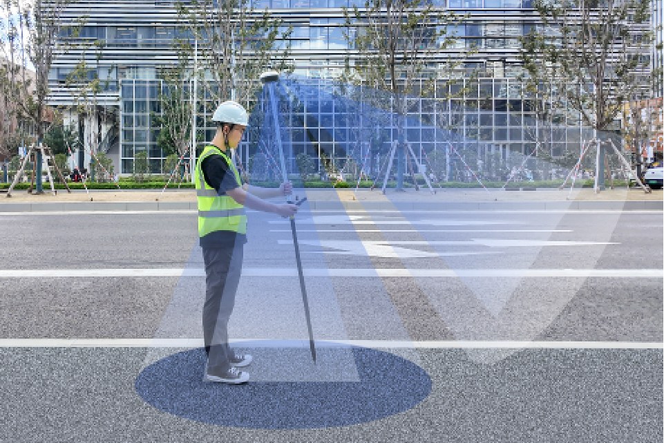
Survey Control
Establish project control and record boundary evidence. Check observations against the required reference system and survey procedure.

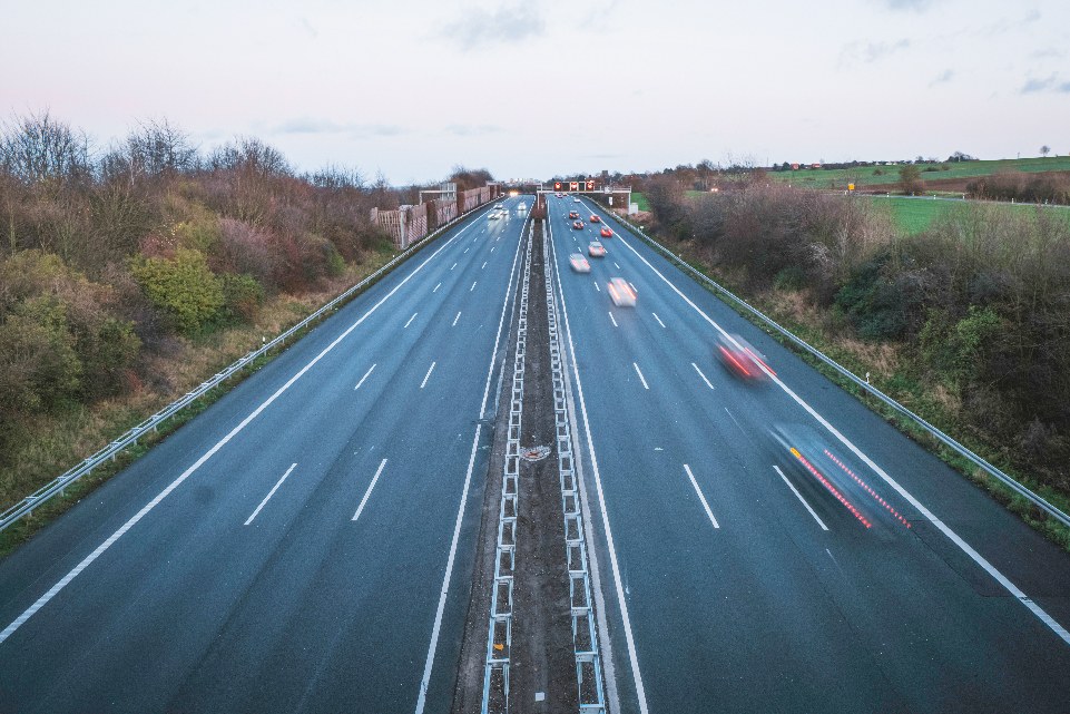
Establish control, measure the site and set out design positions. Choose GNSS, visual, laser or optical measurement to fit the task.
Survey control, terrain measurement and stakeout with GNSS, optical instruments and field data workflows.
Establish project control and record boundary evidence. Check observations against the required reference system and survey procedure.
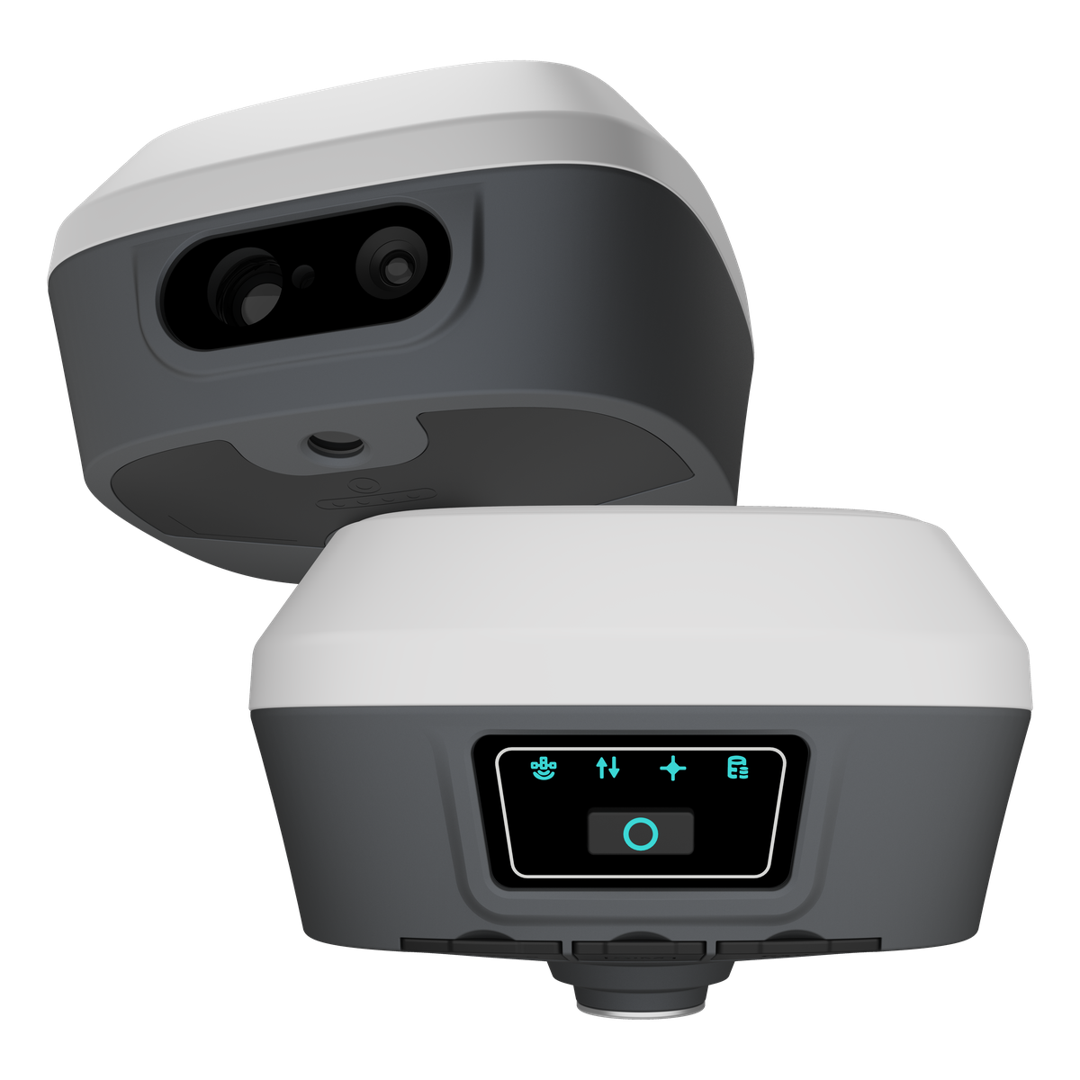
Use GNSS point measurements and optical observations to record terrain, elevations and site features. Select equipment for access and satellite visibility.
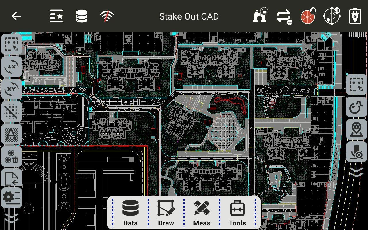
Transfer design points and lines to the field with GNSS or TAS Z6 optical measurement. Confirm control and check the completed layout.
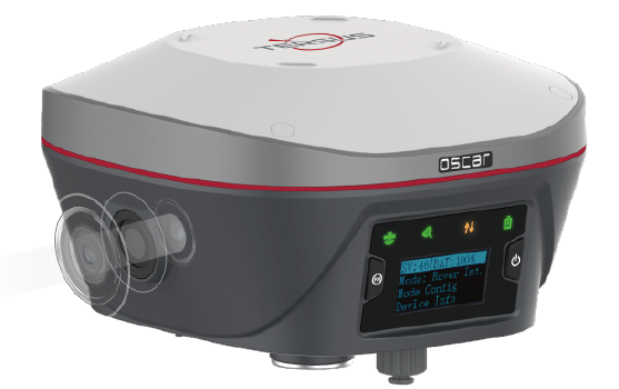
Oscar Trek combines a camera, GNSS and IMU for visual measurement of visible points that are hard to reach with a pole.
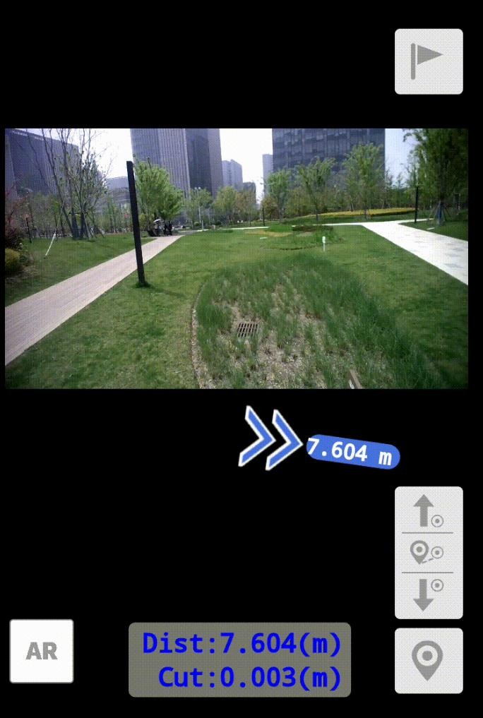
captuRTK™ TS30 adds laser ranging, visual capture and TwinCam AR stakeout. These are model-specific tools for supported field tasks.
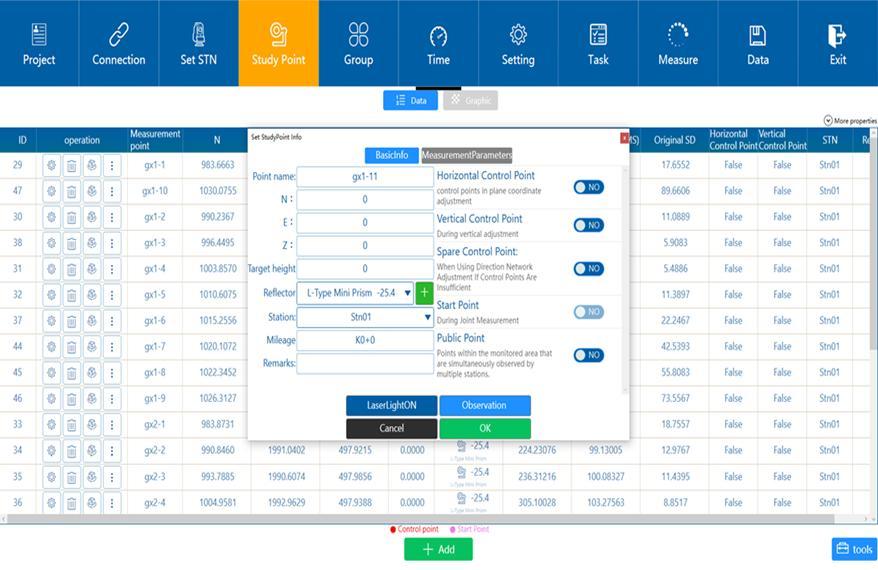
Review field observations and project coordinates before preparing survey records for CAD, GIS or reporting. Output depends on the selected field software.
Explore the receivers, sensors, field systems and software that support this workflow.
Visual and laser GNSS receiver for point measurement, visual capture and AR stakeout.
View ProductCamera-assisted GNSS measurement for visible points that are difficult to reach with a survey pole.
View Product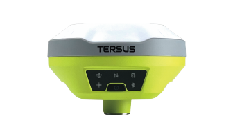
Compact GNSS rover for point surveys and stakeout, with tilt compensation for field measurement.
View Product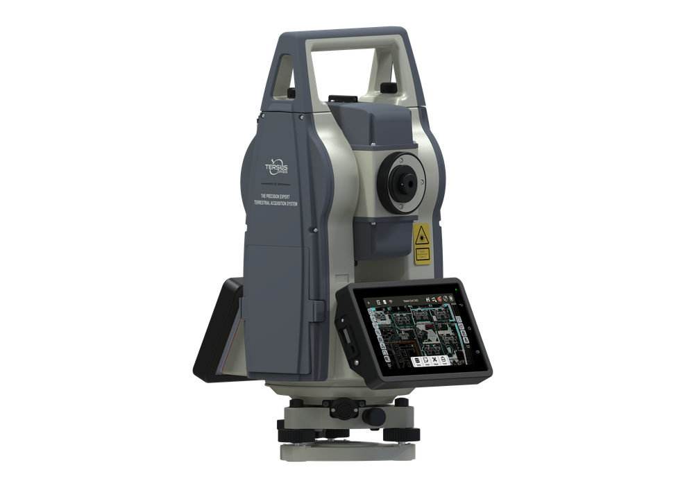
Robotic total station for control, optical measurement and construction stakeout.
View ProductA practical sequence that can be adapted to the project, environment and deliverable.
Set the reference system, design data, required tolerances and site control.
Use GNSS, Oscar Trek visual measurement, TS30 laser tools or TAS Z6 optical measurement for the task.
Review control checks, point quality and field records before leaving the site.
Export supported field data and verify coordinates and completeness for office use.
Share your environment, accuracy needs and intended deliverable with our team.