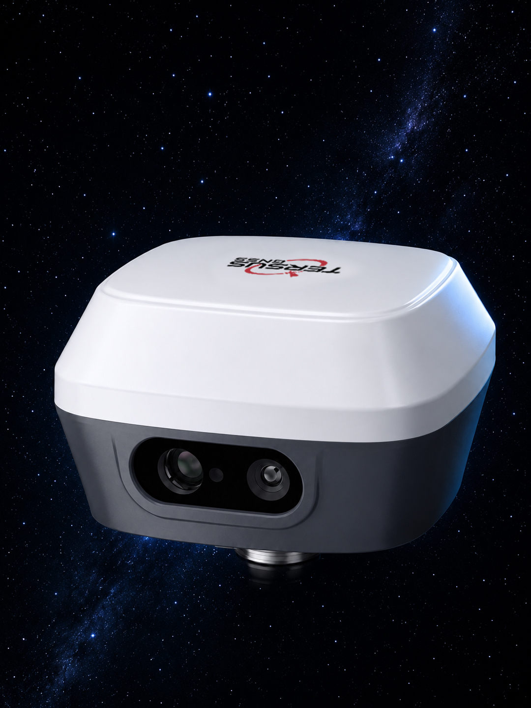
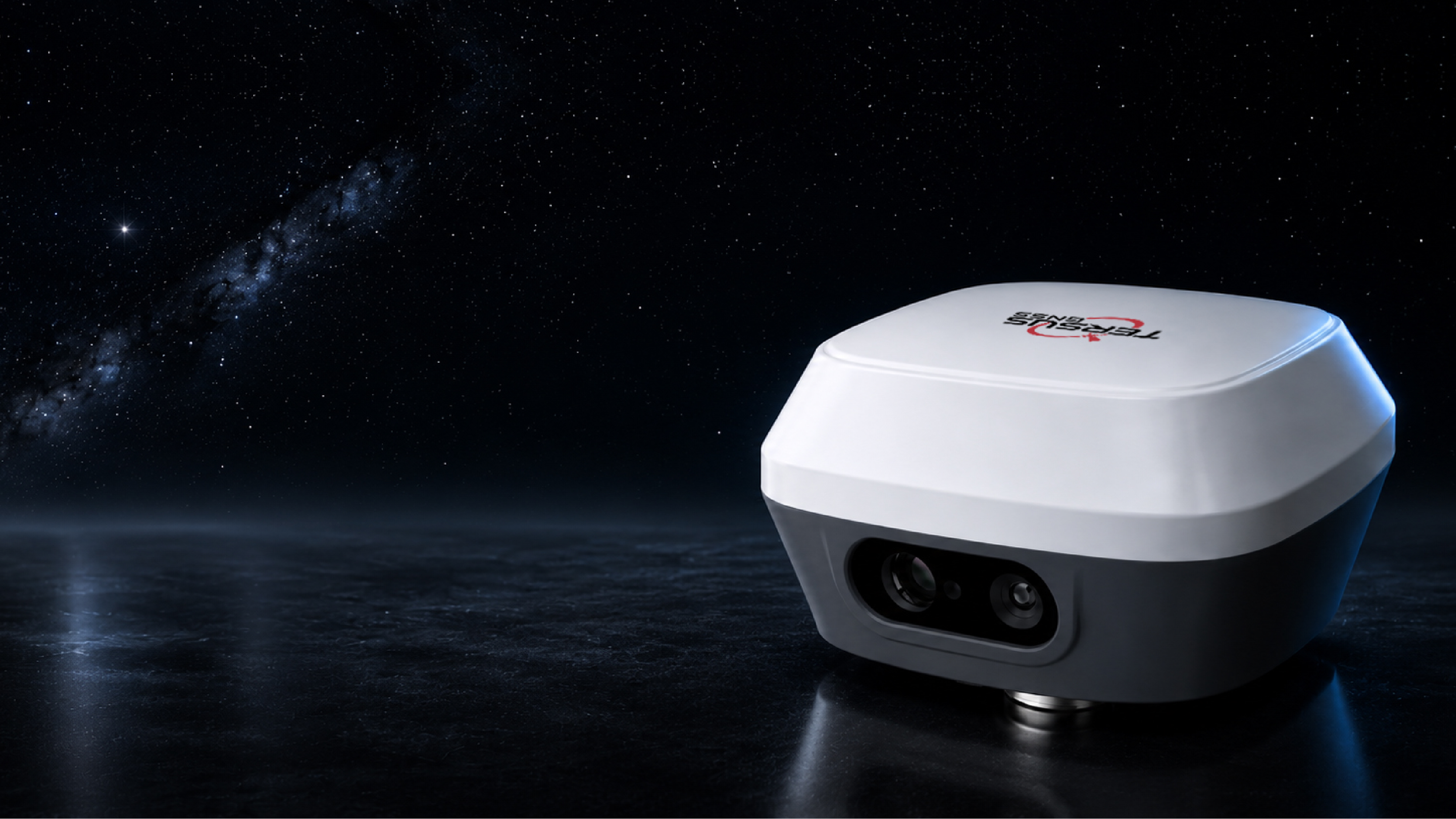
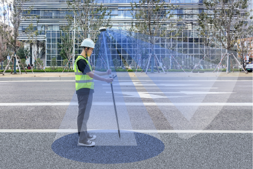
captuRTK™ TS30
Laser & Vision GNSS Receiver
Key Advantages at a Glance
Core Features for Modern Field Workflows
Capturing and Reconstructing the Site
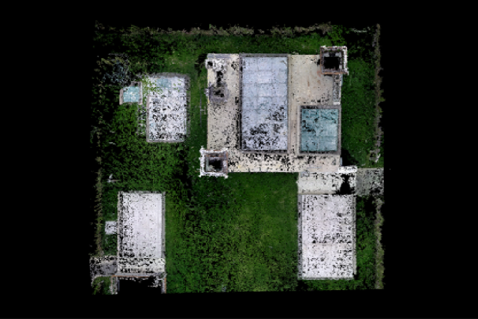
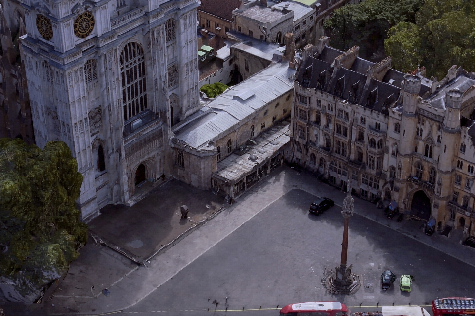
With captuRTK™ TS30, simply walk through the site and record a video. The system automatically reconstructs high-density point clouds with accurate spatial positioning. Next, users can directly obtain coordinates, distances, angles, topographic maps, and generate DLG, DTM, DEM products.
Visual and Laser in one compact receiver
The front global shutter camera enables accurate visual positioning, while the integrated laser supports long-range measurement up to 50 m. Visual SLAM continuously tracks feature points to provide additional constraints for more reliable pose estimation and positioning performance.
- Generate a full 3D point cloud from a few minutes of video
- Capture color point clouds on site
- Measure distances, angles, and CAD drawings directly on the point cloud
- Reduce return visits when field details are missed
Stable Laser Ranging
During laser ranging measurement, the front camera continuously captures visual features and evaluates multiple laser samples to intelligently determine the most reliable result. This reduce the impact of hand movement and delivers more stable laser ranging performance.
TwinCam AR Stakeout
With automatic switching between front and bottom cameras at different distances, targets and direction are marked in the live augmented view, improving stakeout efficiency by up to 70%. The integrated laser also enables stakeout in partially obstructed environments.
Built for Real Field Workflows
Capture Reality, Measure Everything
Bring the site back to the office, no need for revisits and rework
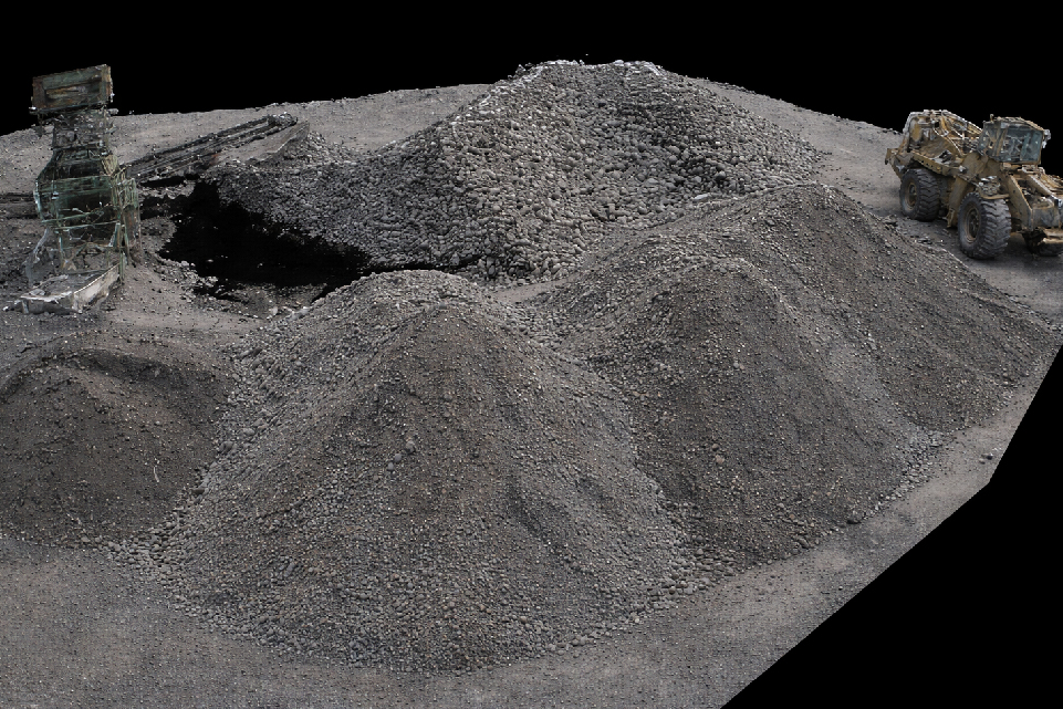
Earthwork & Volume Calculation
Generate point clouds on-site for terrain and stockpile calculation
Distant Target Measurement
Measure inaccessible targets safely with visual and laser
TwinCam™ AR Stakeout
Use live augmented camera guidance to visually locate points and reduce repeated pole adjustment.
From Field Capture to Office Delivery
Nuwa App and Tersus Geo Office 2 connect field data with office workflows, including JobXML, FXL, WMS service, vector map formats, and CAD/GIS deliverables.
Workflow
Compatible ecosystem
Technical Specifications
Hardware
Laser & Visual
Connectivity
Software
Product Resources
Frequently Asked Questions
What makes TS30 different from a traditional GNSS receiver?
TS30 combines RTK positioning with Laser ranging, Visual SLAM point cloud capture, and TwinCam™ AR guidance, turning one receiver into a broader field measurement platform.
How far can the laser measure?
TS30 supports Laser ranging from 0.05 m to 50 m, making it useful for blocked, unsafe, or hard-to-reach targets.
Can TS30 measure unsafe or hard-to-reach targets?
Yes. Laser GNSS and visual workflows are designed to help teams collect measurements without physically approaching certain targets when conditions allow.
What is Visual SLAM used for?
Visual SLAM helps TS30 generate dense point clouds in the project coordinate system, capture richer context, and support direct field measurement on the reconstructed scene.
Which software workflows does TS30 support?
TS30 works with Nuwa App, Tersus Geo Office 2, and compatible ecosystems such as FieldGenius, TcpGPS, Makin3D, ProStar, easyGIS, Esri Field Maps, and Pix4Dcatch.
How does TAP Service help in poor network coverage?
Global TAP Service and TAP Fill help maintain centimeter-level support when field teams work in areas with limited or unstable network coverage.
Ready to Build a Faster Field Workflow with captuRTK™ TS30?
Talk to our team for pricing, demo support, technical evaluation, or distributor cooperation.