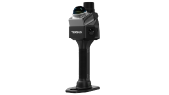
Handheld SLAM Scanning
MVP S1 supports walking capture of indoor and outdoor spaces. Plan the route and check scan quality for the site.

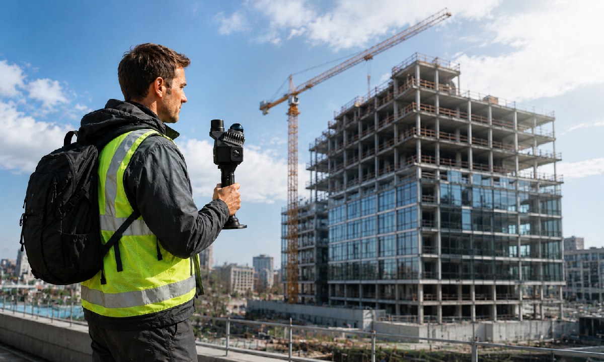
Capture sites with the right scanner and carrier, then check the point cloud and prepare the required outputs with appropriate processing software.
Handheld, backpack and compatible UAV LiDAR workflows, followed by point cloud review and delivery.
MVP S1 supports walking capture of indoor and outdoor spaces. Plan the route and check scan quality for the site.
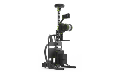
Use MVP S2 for mobile or backpack SLAM capture of buildings and surrounding spaces. Choose the installation and route for the project.
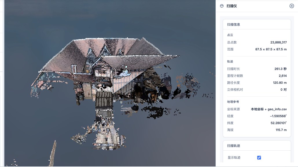
Use an appropriate SLAM workflow where satellite visibility changes. Absolute positioning depends on the available control, GNSS and processing method.
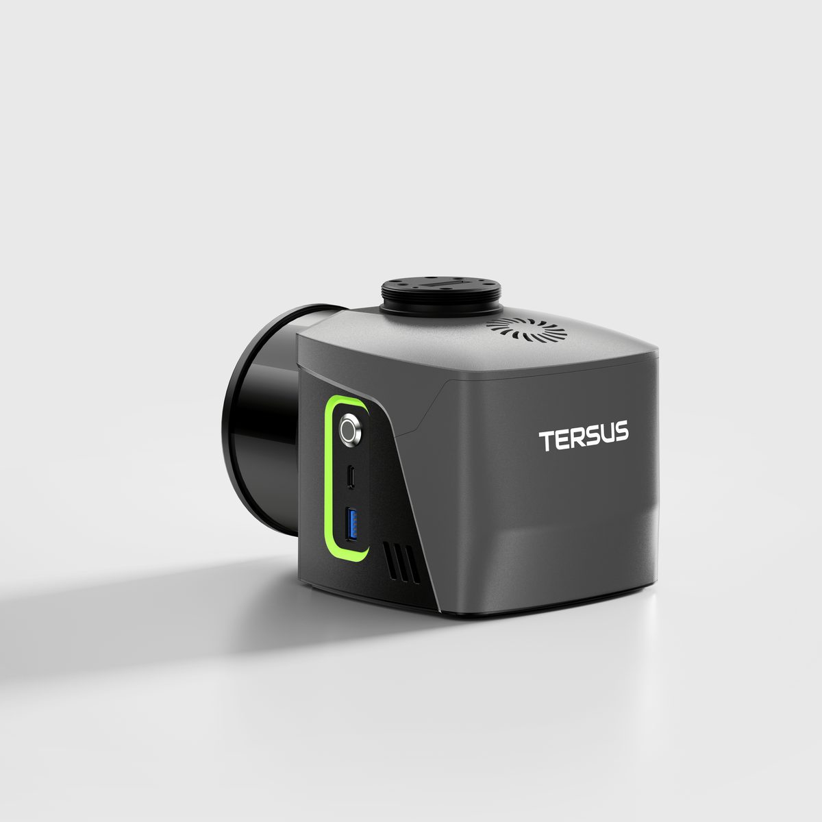
MVP100 and MVP400 are LiDAR payloads for compatible UAV mapping platforms. Plan the carrier, trajectory and project control for airborne capture.
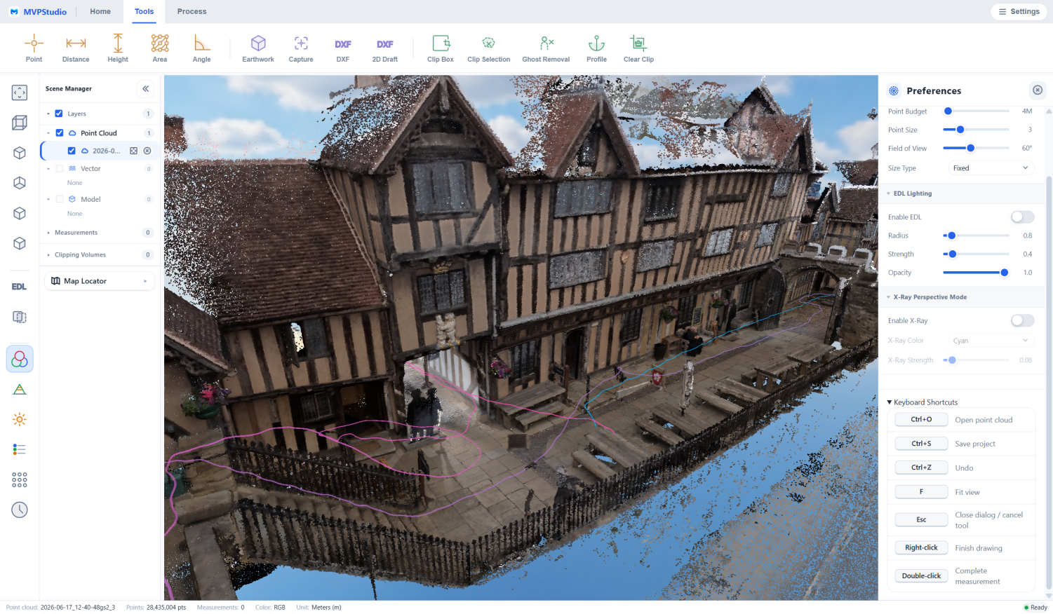
Review and measure point clouds in MVPStudio. Solving MVP S1 raw projects requires the separate S1 processing dongle.
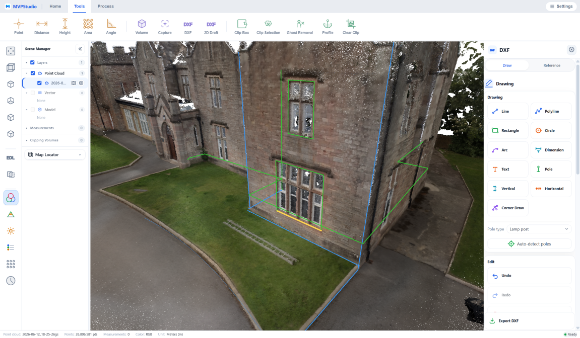
Prepare supported outputs for the project. Advanced CAD/GIS export tools require MVPStudio Professional; verify the selected workflow and license.
Explore the receivers, sensors, field systems and software that support this workflow.
Handheld SLAM scanner for indoor and outdoor capture. Raw-data processing requires the separate S1 processing dongle.
View Product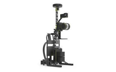
Mobile SLAM 3D Laser Scanner
View Product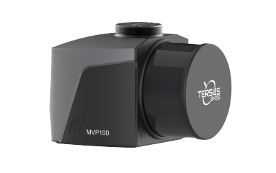
Base-Station-Free Mobile Mapping System. Fly it. Mount it. Carry it — for UAV mapping, vehicle-mounted mobile mapping, and handheld scanning.
View Product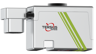
Deliver survey-grade 3D mapping with exceptional efficiency and centimetre-level precision
View Product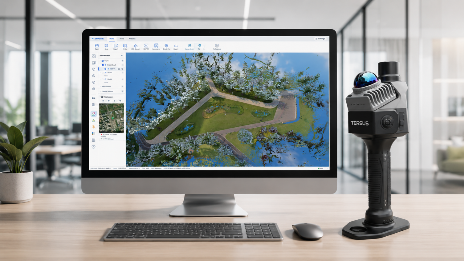
Point cloud viewing, measurement and volume checks. Advanced CAD/GIS exports require Professional; S1 raw processing needs its separate dongle.
View ProductA practical sequence that can be adapted to the project, environment and deliverable.
Choose handheld, backpack or compatible UAV capture and establish control requirements.
Follow the planned route or flight and review data completeness and site conditions.
Use processing software supported by the scanner. S1 raw solving needs its processing dongle.
Select the licensed export tools and check the coordinate system and deliverable quality.
Share your environment, accuracy needs and intended deliverable with our team.