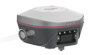
LUKA GNSS RTK Receiver

Lighter, Smaller and Smarter
......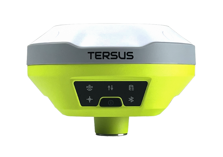
Ultra-compact lMU-GNSS receiver
easy to carry and operate
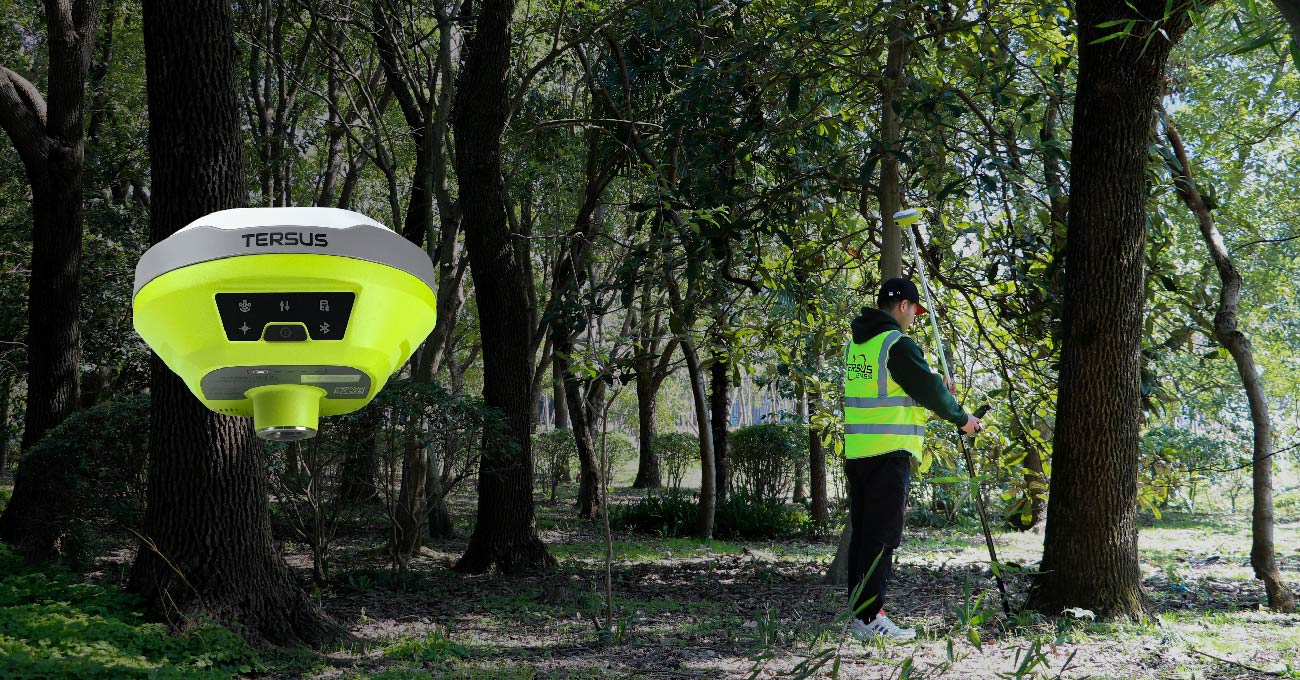
Calibration-free Tilt Compensation


IMU-GNSS Fusion
Calibration-free and is immune to magnetic interference.


Centimeter Precision
Tested accuracy of 2cm when tilted at 60° (2m or 1.8m pole).


Vibration Resistance INS Performance
Efficiency goes up by 30% when continuously surveying with Tersus Rod-Tip-Roller.


Survey without Tilt Angle Limitation
Tested RMS error of 3.7cm at a tilt angle of 110°.
Fix in seconds
Powered by 1568 channels, LUKA can track full-constellation and multi-frequency for enhanced performance. LUKA provides centimetre-level positioning accuracy, and fix in seconds even in challenging conditions.
Compact and exquisite design
LUKA is a pocket-sized and lightweight receiver, measuring 132x68mm and weighing just 827 grams. It includes an internal battery, radio modem, and 4G network modem for seamless work on the go.

Powerful and smart battery
Built-in high-capacity lithium battery provides 19 hours of field work, with a smart power display. It can be quickly charged in about 3 hours, and a power bank can be used during field surveying work.

Engineered for field work
LUKA is IP68 rated with an industrial-grade design, making it durable and reliable even under the harshest conditions. It's also drop-proof, with the ability to withstand a 2-meter pole drop onto concrete.

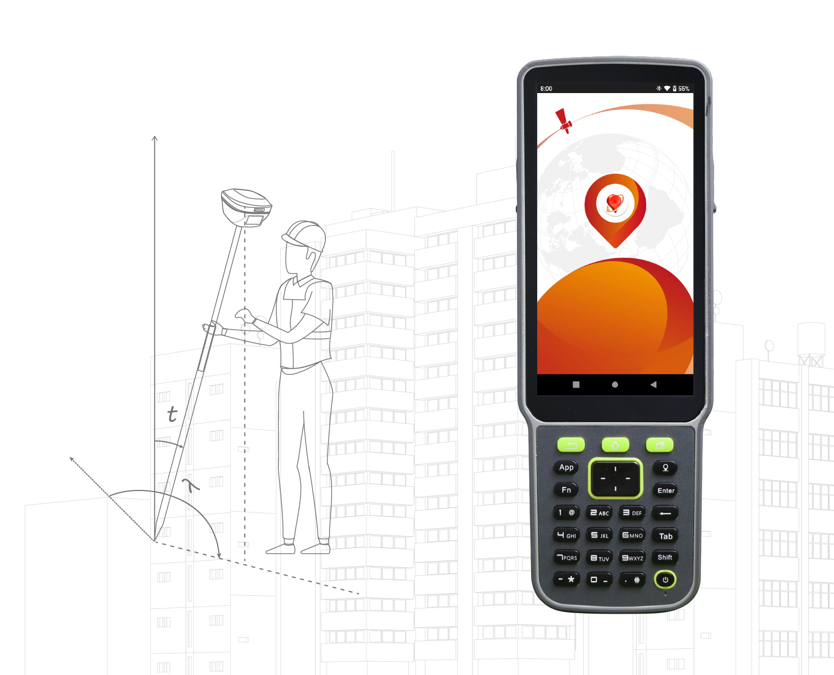
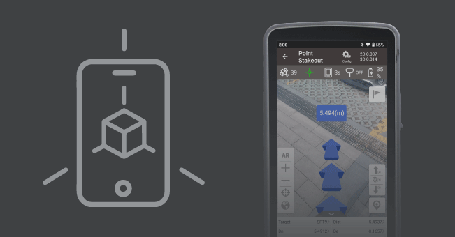
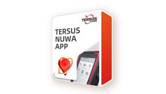
Data Collector and Field Software

The TC80 controller is a rugged multi-function data controller with a 5.5" sunlight-readable HD touchscreen design and alphanumeric keypad. It is equipped with a powerful octa-core processor and Android operating system, perfect for adapting to NUWA app, which is our versatile and FREE survey field software with easy-to-use graphical interfaces and powerful features.
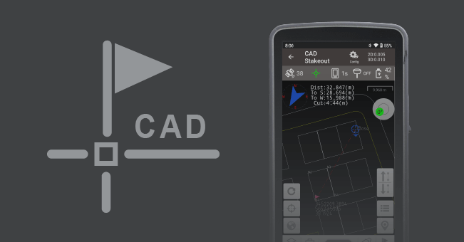
Supports direct import of various types of complex DWG and DXF files for staking of selected points and lines, as well as other more functions such as layer management, block operation, etc.
Supports importing, editing and previewing of roads in road management, as well as staking of road centerlines, cross sections and elevations in road stakeout.

Supports online maps like OSM and Google, as well as imported files like DXF, KML, KMZ and LandXML as base maps.

With the excellent tilt compensation of LUKA GNSS receivers, combined with the realistic view, the screen arrow will direct you to the point (without needing to orient to North first) to speed up the field work.
Visualization of graphic measurements, Nuwa will automatically connects the measurement points into the selected graphic, also switch between point survey and line survey based on the type of code.

Project data backup and rapid collaboration, supports one-click synchronization of cloud and local data, also supports to export data to cloud, download and open on the desktop.

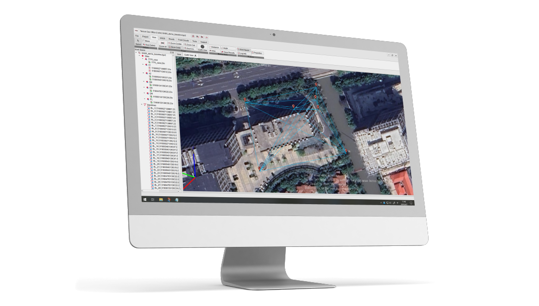
Tersus Geo Office 2 is a desktop data processing software based on Windows OS, designed by Tersus GNSS Inc, and all rights reserved. TGO2 has various functions, covering multiple business modules for professional users, supporting GNSS post-processing and network adjustment, road design and inspection, RTK project processing, and point cloud data processing.
-
Datasheet_LUKA for Philippine
Release Date: 2024-07-19 Version:2.6
-
Datasheet_LUKA_EN
Release Date: 2025-12-11 Version:2.0
-
Brochure_LUKA-TAP
Release Date: 2025-05-16 Version:1.2
-
Brochure_LUKA_EN
Release Date: 2025-09-05 Version:2.0
-
Item List_LUKA_Rover_TC50
Release Date: 2023-02-01 Version:1.1
-
Item List_LUKA_Rover_TC80
Release Date: 2024-06-20 Version:1.3
-
Item List_LUKA_Base_EN
Release Date: 2025-11-18 Version:1.3
-
Quick Start Guide_LUKA
Release Date: 2025-12-05 Version:2.1
-
Firmware Upgrade Guide_LUKA
Release Date: 2024-07-23 Version:1.1
-
User Manual_LUKA_EN
Release Date: 2025-11-21 Version:1.5
-
CE_LUKA
Release Date: 2024-04-30 Version:1.0
-
MIL STD_LUKA
Release Date: 2022-12-19 Version:1.0
-
Datasheet_LUKA_ES
Release Date: 2025-05-29 Version:1.0
-
C_Equipment Authorization - Luka
Release Date: 2026-01-05 Version:
-
DSS-TC981858
Release Date: 2026-01-05 Version:
-
DTS-TC145869
Release Date: 2026-01-05 Version:
-
TNB-TC882995
Release Date: 2026-01-05 Version:
-
ISED Cert_ATB-14
Release Date: 2026-01-05 Version:
-
LUKA Ultimate_인증서
Release Date: 2026-01-05 Version:
-
CBA230551.01 JAS-ANZ TELECOM TECS CERTIFICATE_Luka GNSS receiver
Release Date: 2026-01-05 Version:
-
CBA230551.01 JAS-ANZ TELECOM TECS CERTIFICATE_Luka GNSS receiver
Release Date: 2026-01-05 Version:
Anywhere and Anytime