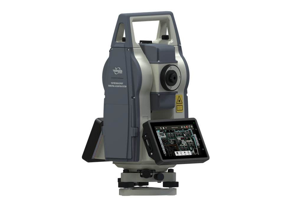
Site Layout
Use TAS Z6 optical measurement or GNSS to transfer design positions to site. Verify control and tolerances before setting out.


Connect survey control and stakeout with site capture, volume checks and as-built records. Integrate positioning and attitude components where the machine requires them.
Site layout, earthwork measurement and spatial records, with sensors and software selected for each task.
Use TAS Z6 optical measurement or GNSS to transfer design positions to site. Verify control and tolerances before setting out.
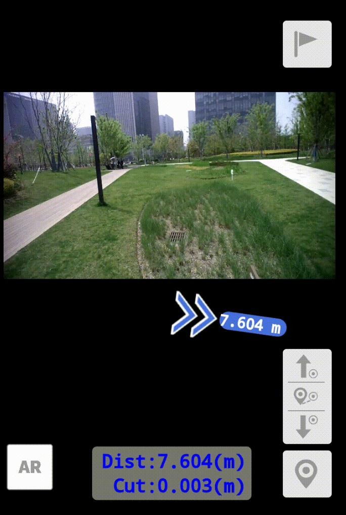
captuRTK™ TS30 provides camera-assisted AR stakeout for supported field tasks. Use surveyed control and check the final point.
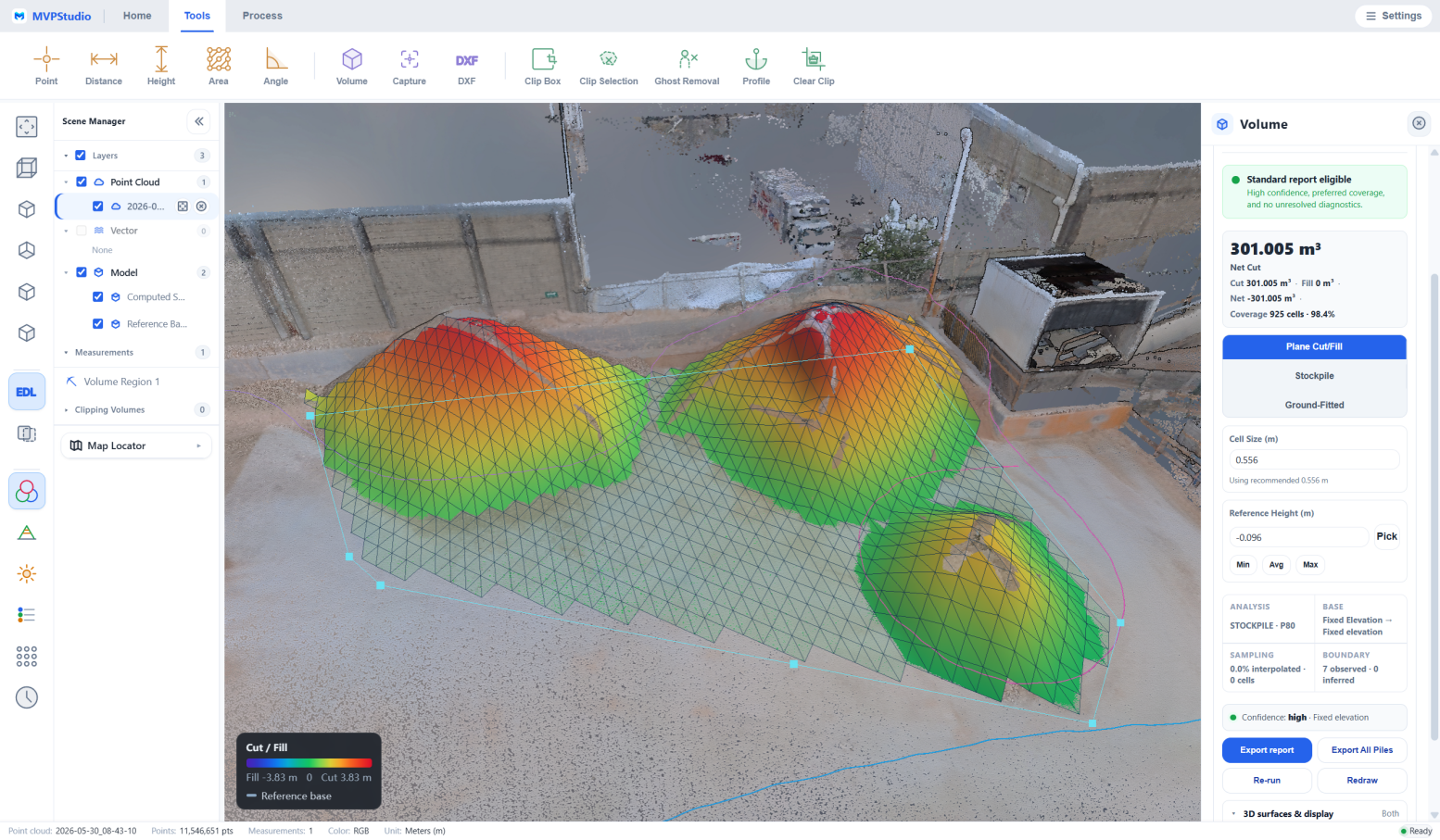
Use captured surfaces and MVPStudio volume tools to check quantities. Define the reference surface and review measurement assumptions.
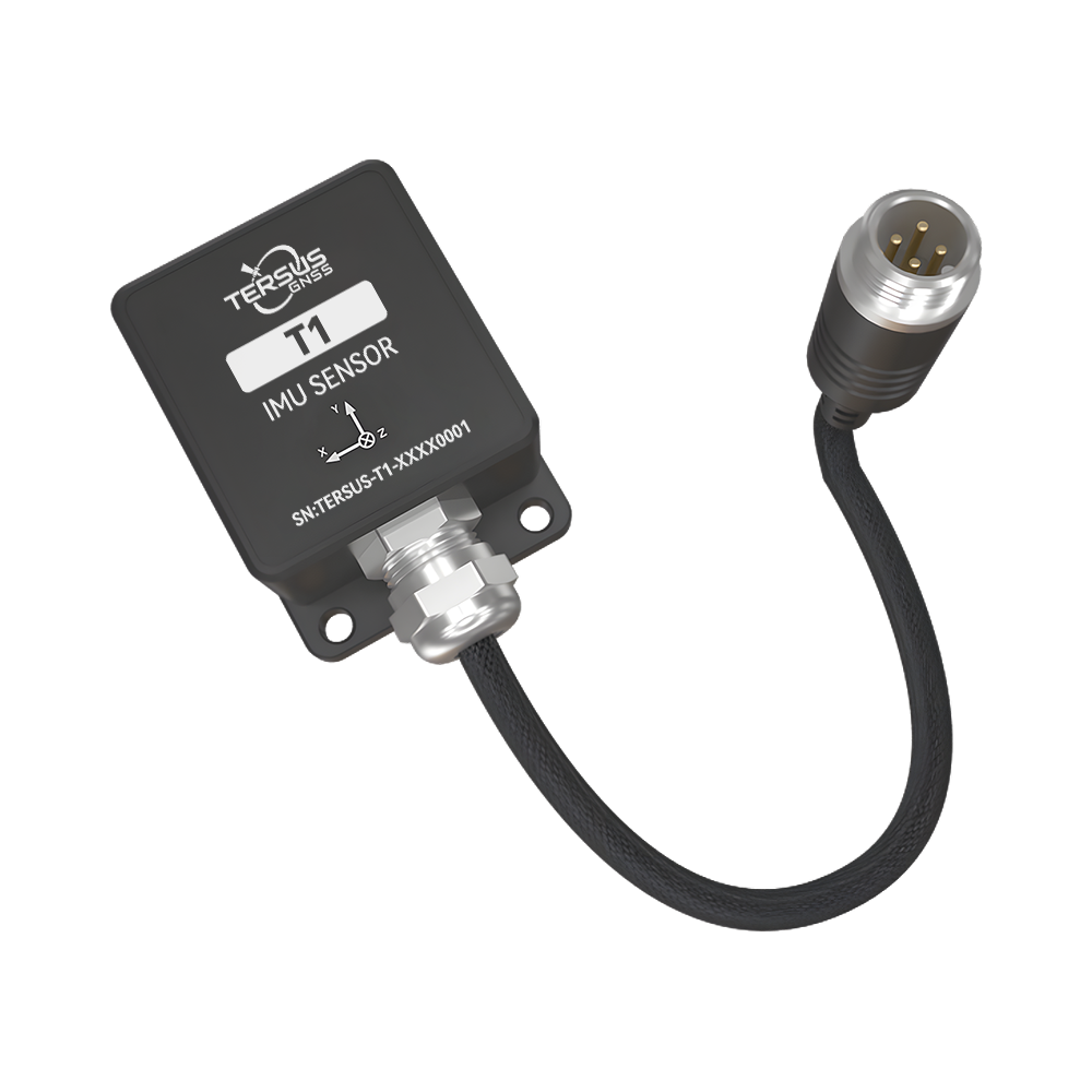
T1 supplies tilt and attitude data to an integrated system. Positioning, design data, controllers and actuators are separate parts of a machine guidance solution.
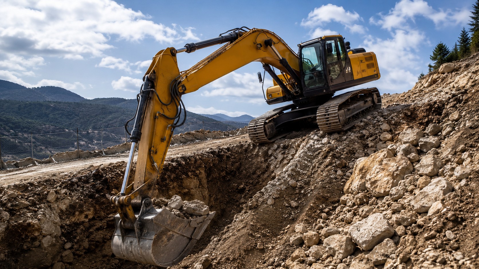
T1 measures attitude and inclination. Grade or elevation control additionally requires positioning, a design reference and suitable control hardware.
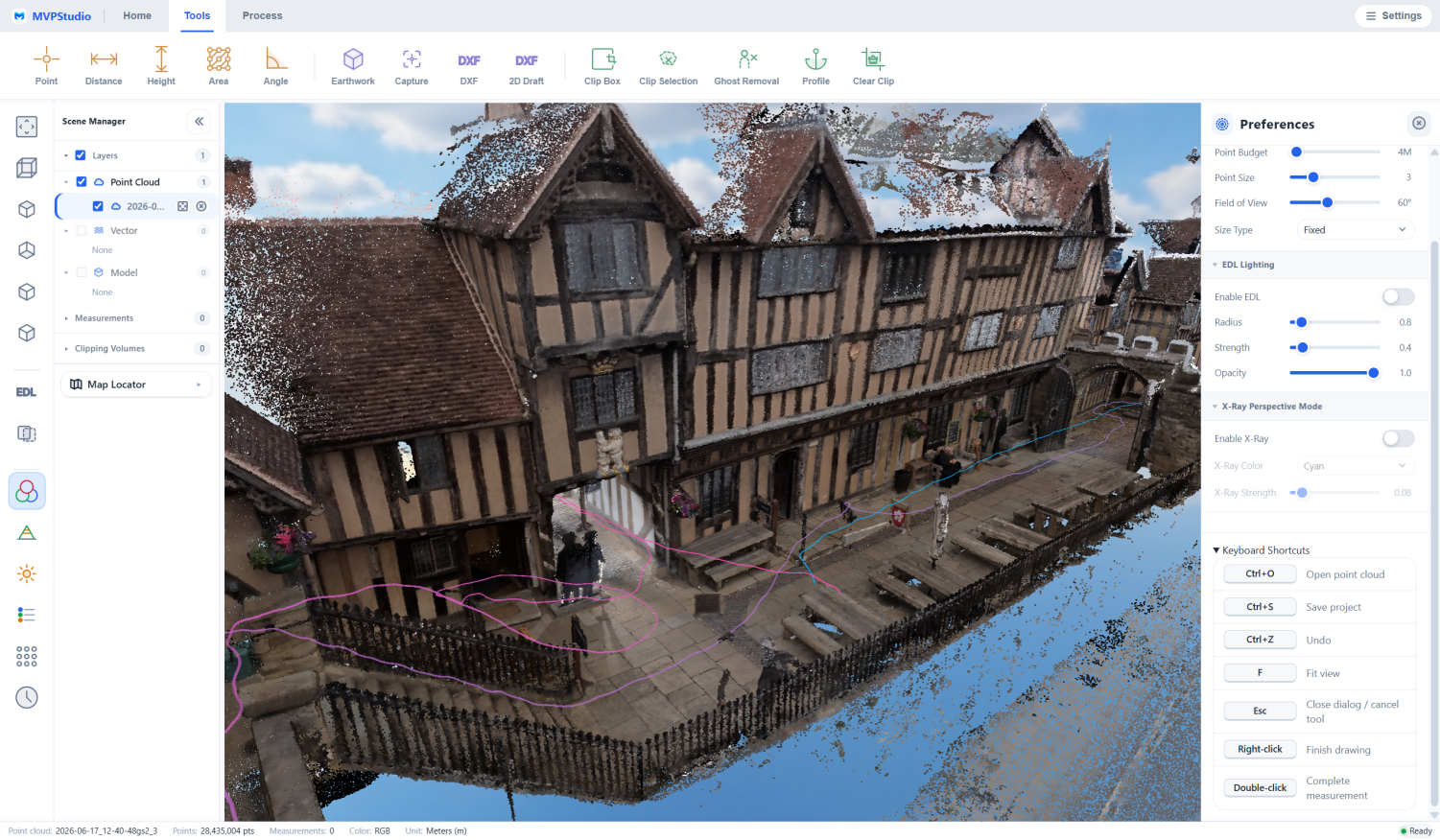
Capture completed conditions with S1/S2 or survey instruments. Compare checked records at project milestones; a single scan does not establish progress.
Explore the receivers, sensors, field systems and software that support this workflow.
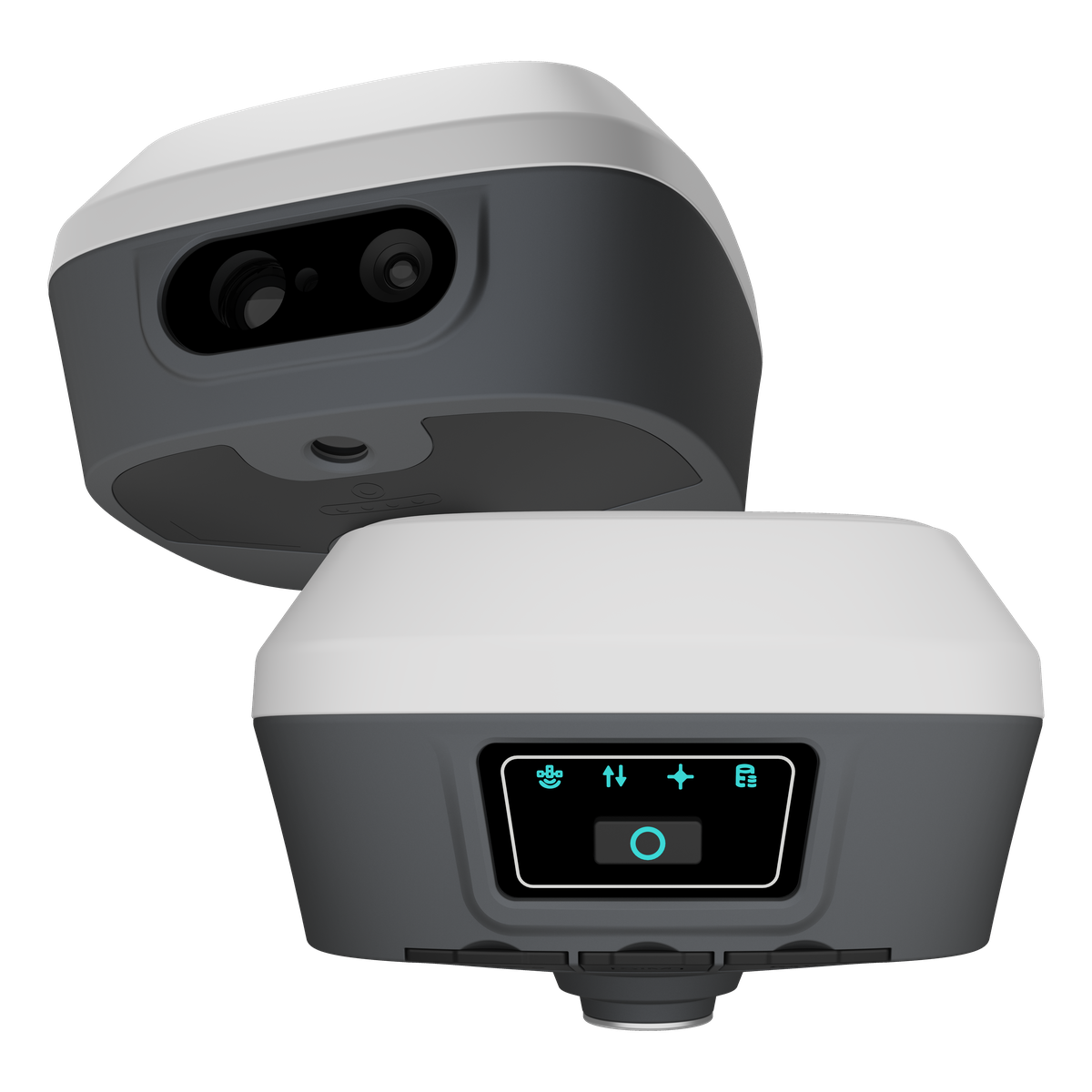
Visual and laser GNSS receiver for point measurement, visual capture and AR stakeout.
View ProductRobotic total station for control, optical measurement and construction stakeout.
View ProductTilt and attitude sensor for equipment integration. Positioning and machine control require additional components.
View Product
Handheld SLAM scanner for indoor and outdoor capture. Raw-data processing requires the separate S1 processing dongle.
View Product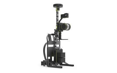
Mobile SLAM 3D Laser Scanner
View Product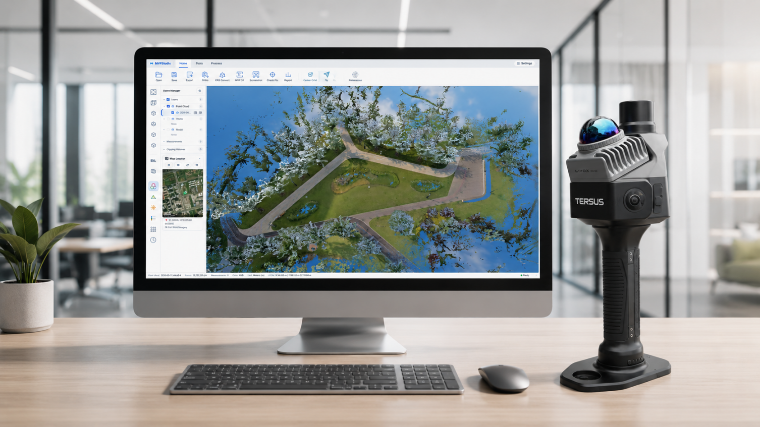
Point cloud viewing, measurement and volume checks. Advanced CAD/GIS exports require Professional; S1 raw processing needs its separate dongle.
View ProductA practical sequence that can be adapted to the project, environment and deliverable.
Confirm project coordinates, design files, control points and required tolerances.
Use TS30 or TAS Z6 for field layout and measurement, with independent checks.
Use S1/S2 for site capture and appropriate software for surface or volume checks.
Review alignment and completeness, then prepare the supported as-built outputs.
Share your environment, accuracy needs and intended deliverable with our team.