
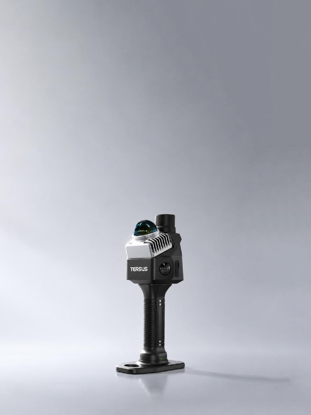
MVP S1
Capture Once. Deliver With Confidence.
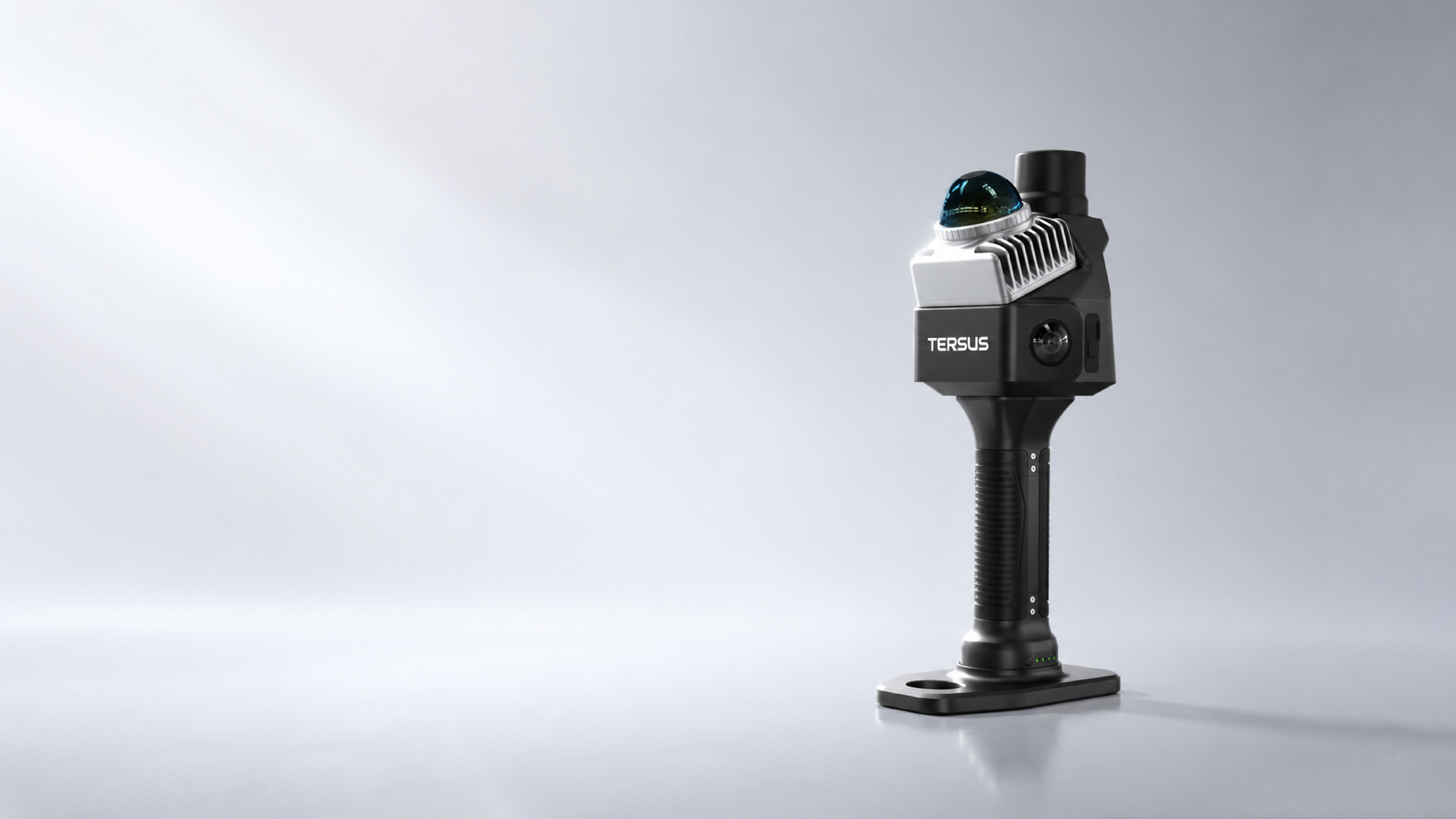
Key Advantages at a Glance
Core Technologies
Built-in RTK + LiDAR SLAM
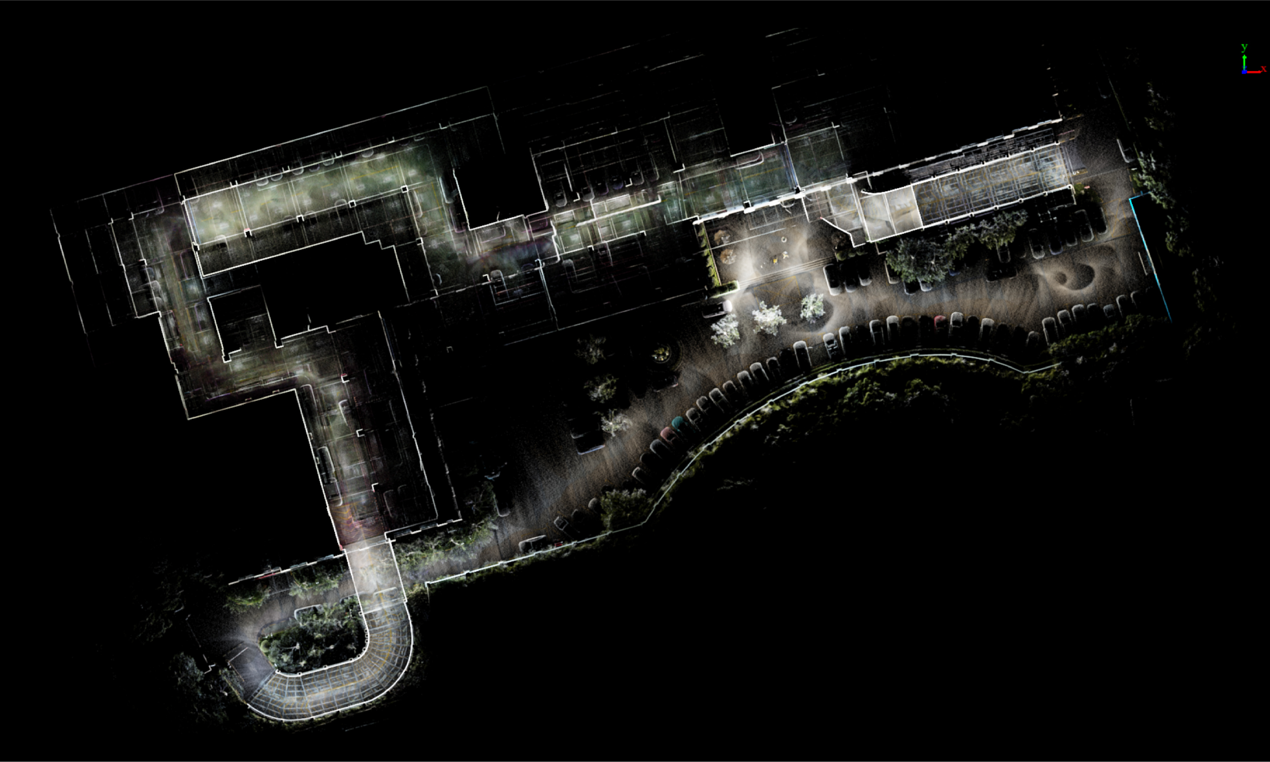
MVP S1 brings global positioning and local 3D mapping into one field system. In open-sky areas, its built-in multi-constellation RTK helps anchor the scan to the real world. When GNSS becomes weak or unavailable, LiDAR-inertial SLAM maintains local mapping continuity. In MVPStudio, operators can process with RTK and surveyed control points, then verify the result against checkpoints before delivery.
- Built-in RTK as standard; no external GNSS antenna required
- Multi-constellation, multi-frequency GNSS support
- SLAM-based capture for indoor, outdoor and transition environments
- RTK and control-point processing, followed by checkpoint verification
Know What You Captured — While You Are Still There
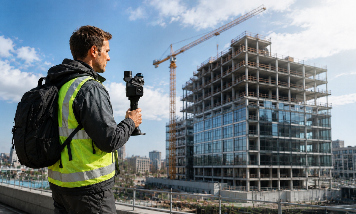
Good fieldwork is not only fast; it is complete. MVP S1 pairs one-person handheld operation with a live mobile workflow for scan control, device status, trajectory and colorized point-cloud preview. Operators can review coverage, identify gaps and capture missing areas before leaving the site.
- 982 g total system weight, including the handle battery
- 200,000 points per second with 360° horizontal LiDAR coverage
- Measurement range up to 70 m at 80% reflectivity
- Up to 150 minutes of operation and 256 GB expandable storage
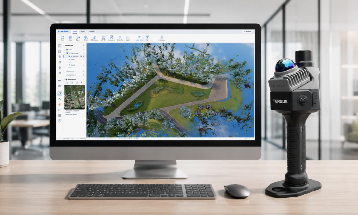
MVPStudio — From Raw Scan to Professional Output
MVPStudio turns an MVP S1 raw project into a colorized, level point cloud and carries the work forward on a local Windows workstation. Review scan health, measure and clean the cloud, verify checkpoints, convert horizontal and vertical coordinate references, use assisted CAD, GIS, terrain and floor-plan tools, and create deliverables without moving the project through multiple disconnected applications.
- Guided S1 raw-data processing with RTK and control-point support
- Scan Doctor health checks and shareable diagnostic reports
- Measurements, profiles, cut/fill volume, clipping and ortho imagery
- Coordinate conversion, checkpoint review, CAD/GIS extraction and export
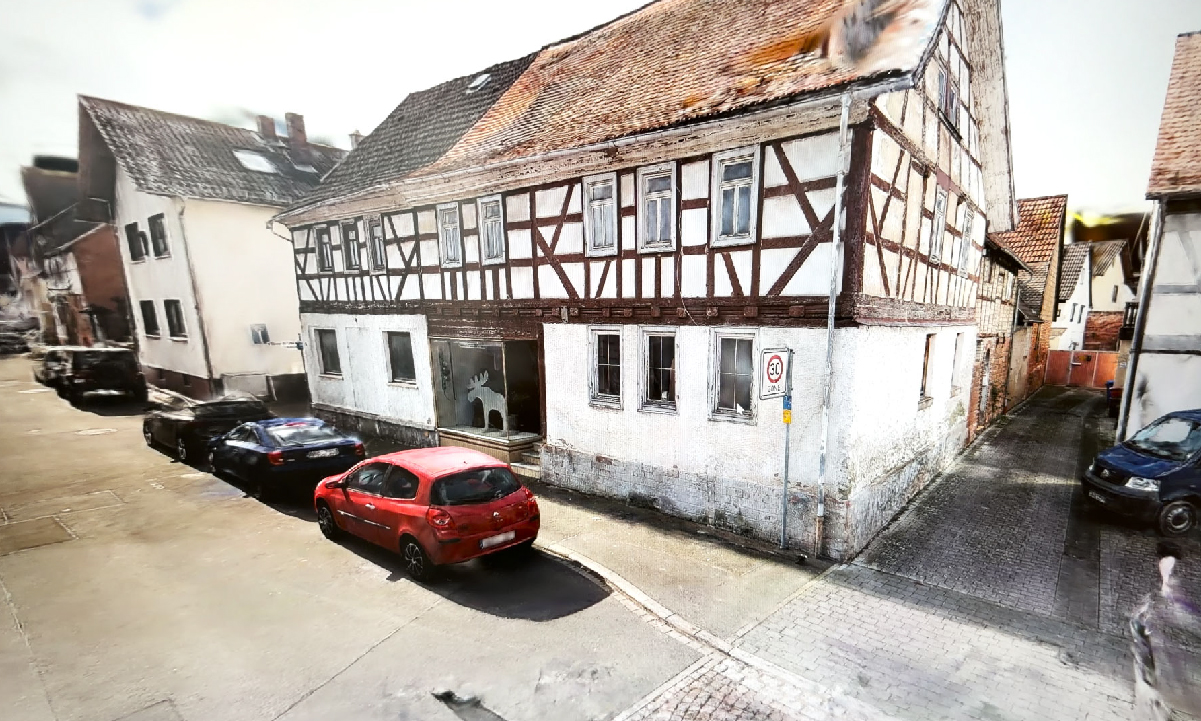
Colorized Point Clouds, Panoramas and 3DGS`
Capture geometry and imagery together. Dual 48 MP fisheye cameras support panoramic documentation and high-quality point-cloud colorization. MVP S1 capture data can also be used with Tersus-supported 3D Gaussian Splatting workflows to create photorealistic scene visualizations alongside the survey and engineering data.
- Dual 48 MP fisheye cameras with panoramic capture
- Real-time preview and post-processed point-cloud colorization
- Spatial review of panoramas and point-cloud context
- Basic 3DGS generation and preview, with an interactive sample available online
Explore Applications

BIM & Construction
Capture accurate site conditions and create BIM-ready digital twins.

Underground Surveys
Capture tunnels, mines, and GNSS-denied environments with reliable 3D mapping.
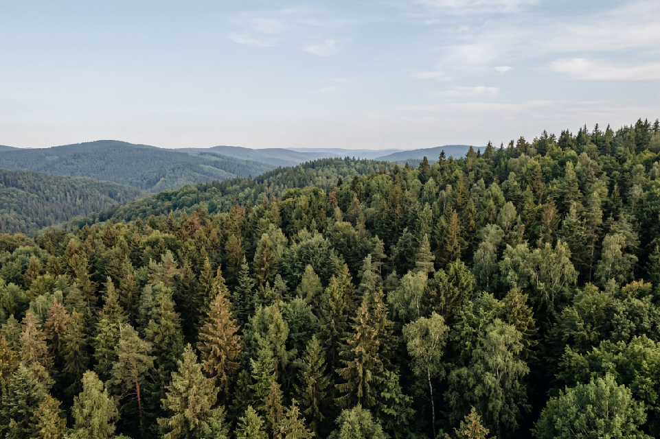
Forestry Analysis
Map forests and vegetation with detailed 3D data for terrain and biomass analysis.
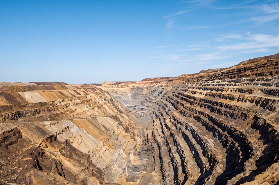
Volume Measurement
Calculate stockpile volumes and terrain changes directly from 3D data.

Digital Factory
Build digital twins for industrial inspection, asset management, and maintenance.
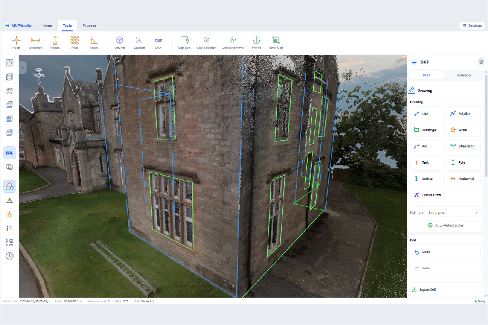
CAD & Floor Plan
Extract floor plans and CAD drawings directly from point clouds.
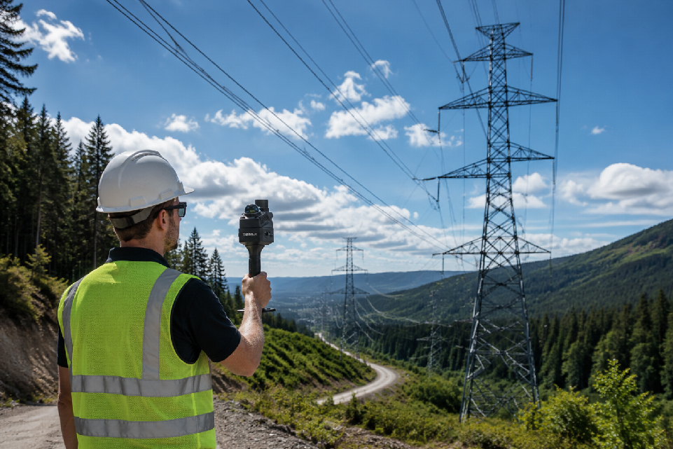
Infrastructure Inspection
Inspect infrastructure assets with accurate 3D documentation and measurements.
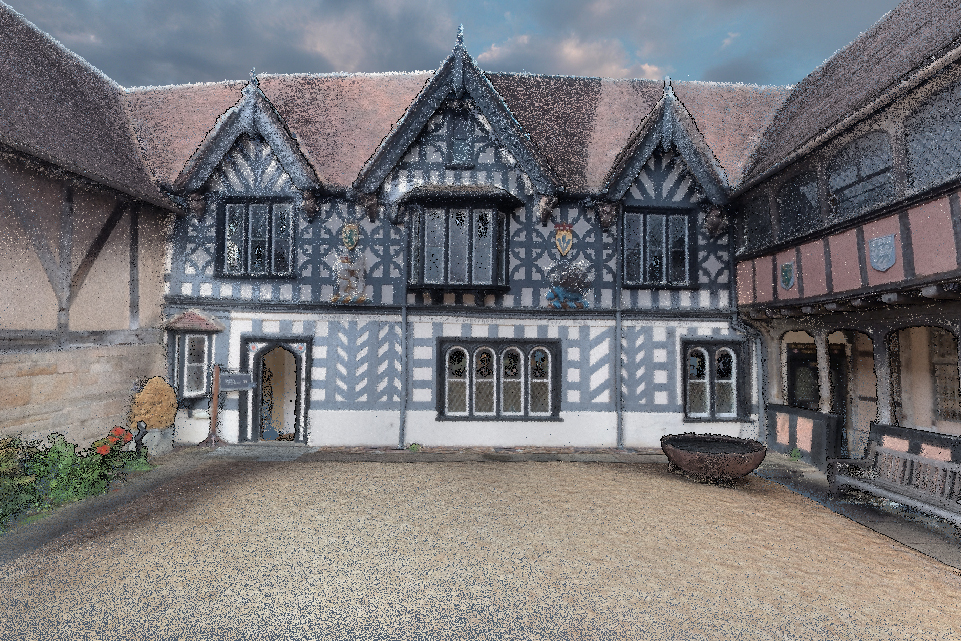
Historic Preservation
Create detailed 3D documentation for historic preservation and digital archiving.
From Field Capture to Final Deliverables
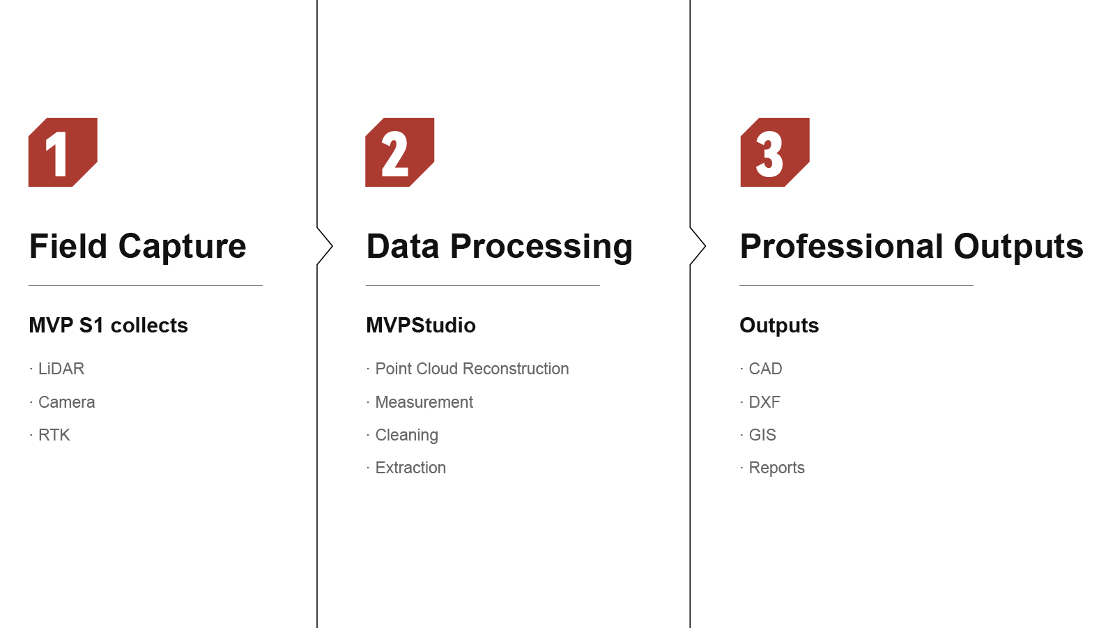
Sample Data
Point cloud sample data captured with MVP S1.
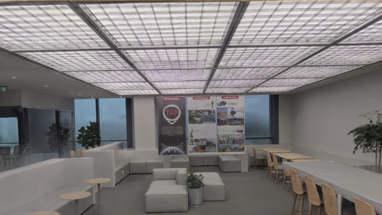
TersusGNSS Office
Explore an interactive 3D Gaussian Splatting reconstruction of the Tersus GNSS office. This sample presents the workplace as a browser-based spatial scene for visual exploration and shared project demonstrations.
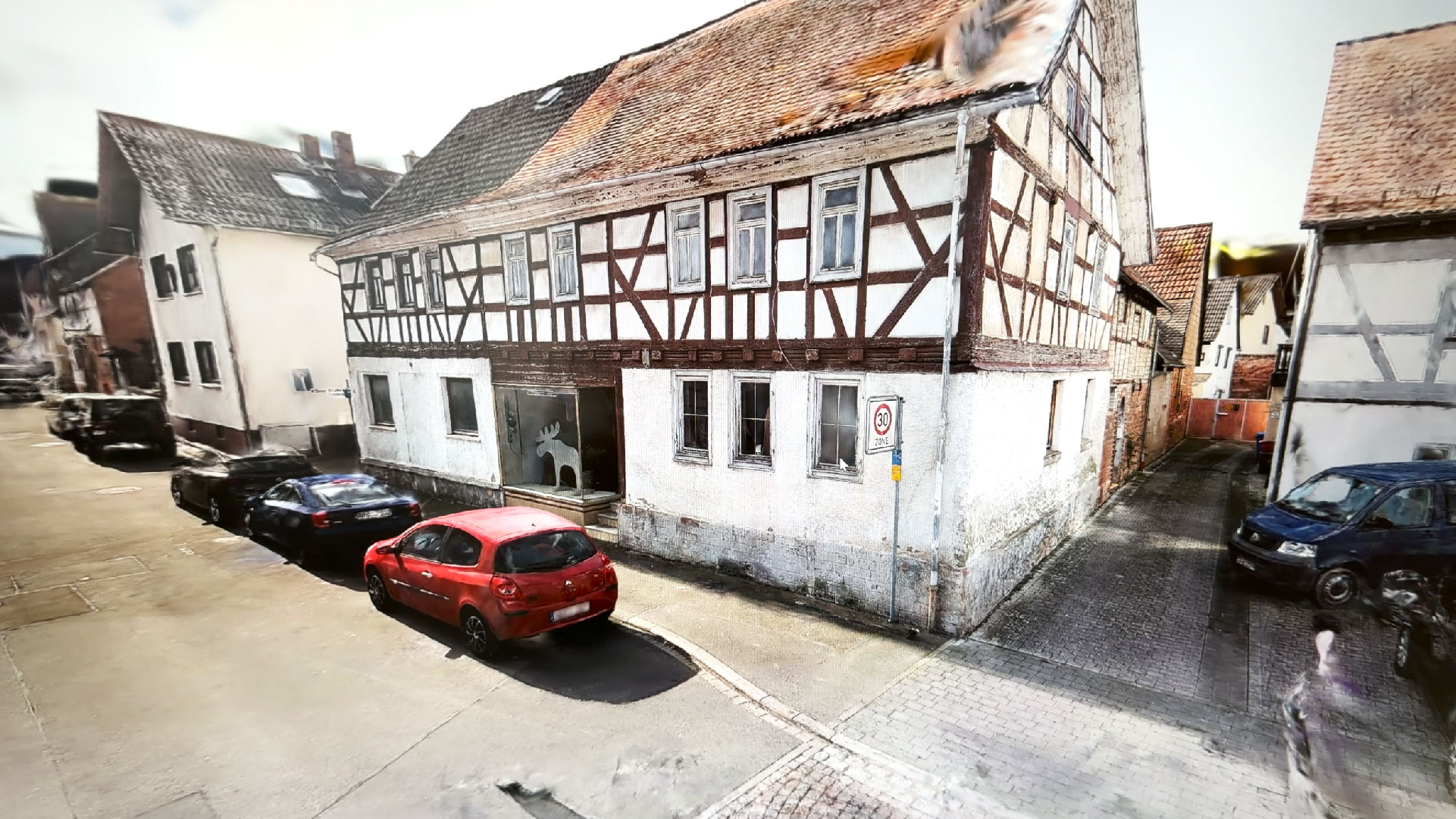
Buildings in Germany – MVP S1 3DGS Sample Data
Explore a 3D Gaussian Splatting reconstruction of buildings in Germany, created from data captured with the Tersus MVP S1. Review architectural detail and spatial context in an interactive browser scene.
Turn Reality Into Digital Data
Talk to our team for pricing, demo support, technical evaluation, or distributor cooperation.