
TERSUS Connects SLAM for AEC and Surveying Workflows at INTERGEO 2026
Live surveying and reality capture workflows in Munich, a first look at Tersus Field, and a subsequent AI-assisted model built from a scan of the exhibition booth.
TERSUS | September 18, 2026
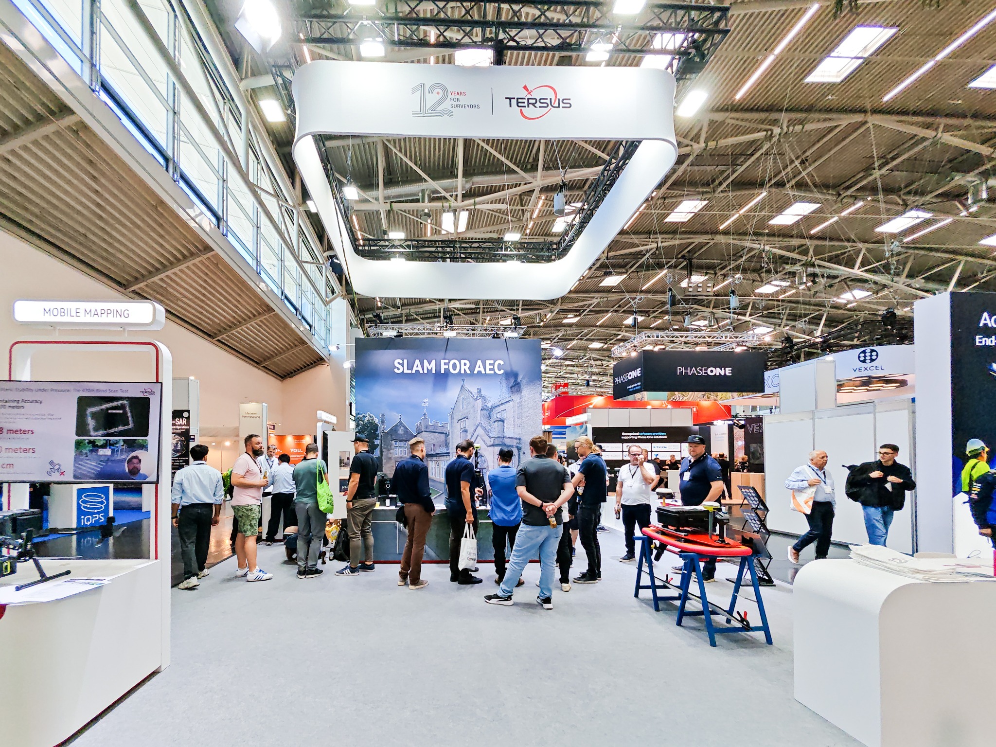
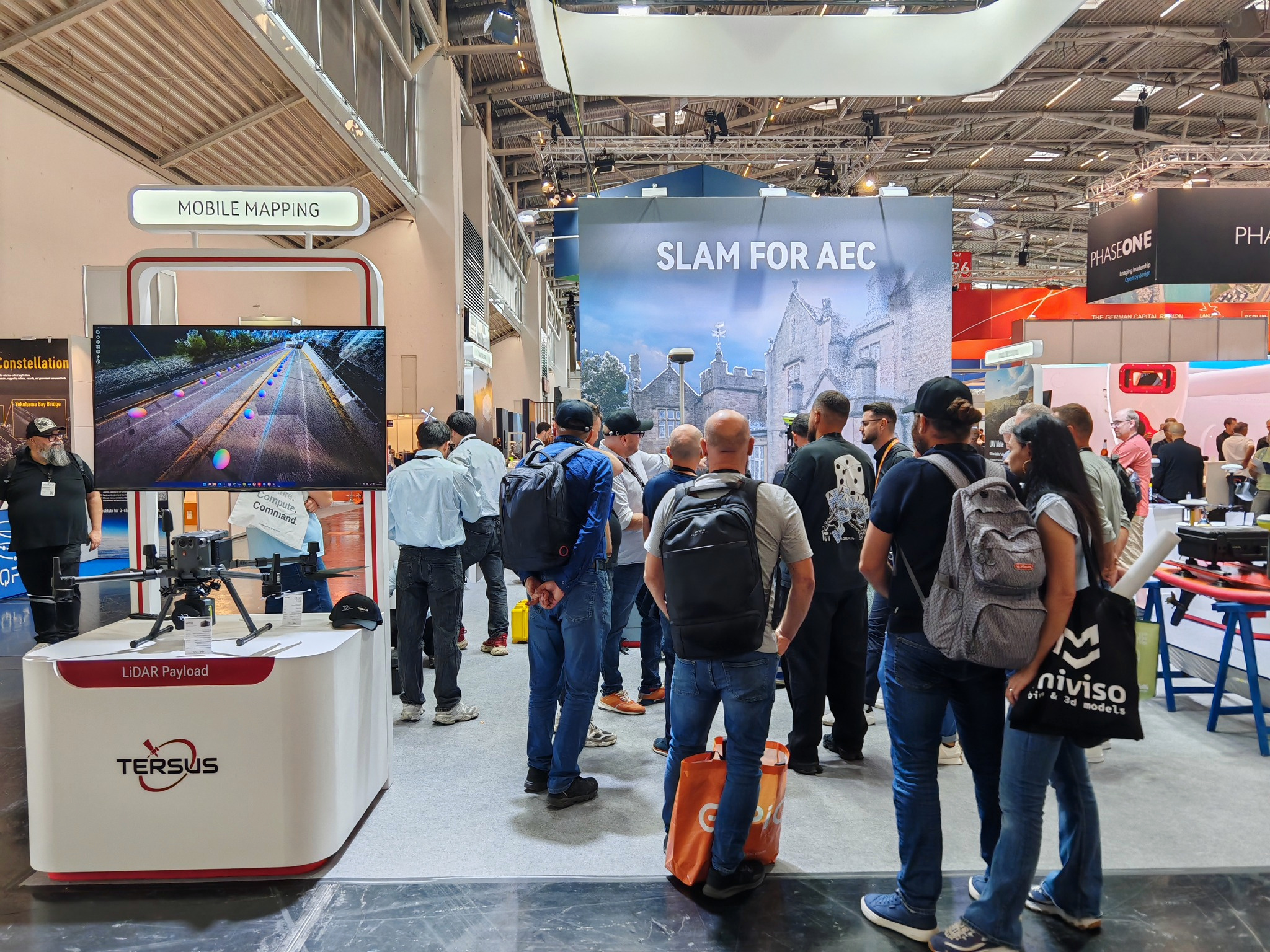
The TERSUS booth at INTERGEO 2026 in Munich, September 15–17, 2026.
Munich, Germany — Tersus GNSS Inc. (TERSUS) brought SLAM for AEC to INTERGEO 2026, welcoming surveyors, customers, partners and geospatial professionals at Hall B6, Booth G018, from September 15 to 17. Across three days of demonstrations and discussions, the team showed how reality capture, point cloud processing and precise positioning can fit together in practical project workflows.
The exhibition also marked “12 Years for Surveyors” for TERSUS, providing an opportunity to share that milestone with the international geospatial community.
Connecting field capture with project deliverables
SLAM for architecture, engineering and construction (AEC) was central to the booth. The connected workflow brought together MVP S1 handheld SLAM capture and MVPStudio point cloud processing, alongside professional RTK surveying with captuRTK™ TS30 and satellite-based positioning with TAP. Visitors could explore the technologies in person and discuss how field data becomes information their project teams can use.
The wider exhibition message connected these surveying and reality capture workflows with positioning, machine control and automation, and OEM technologies. Discussions focused on visitors’ applications, project requirements and the handover between data capture, processing and use.
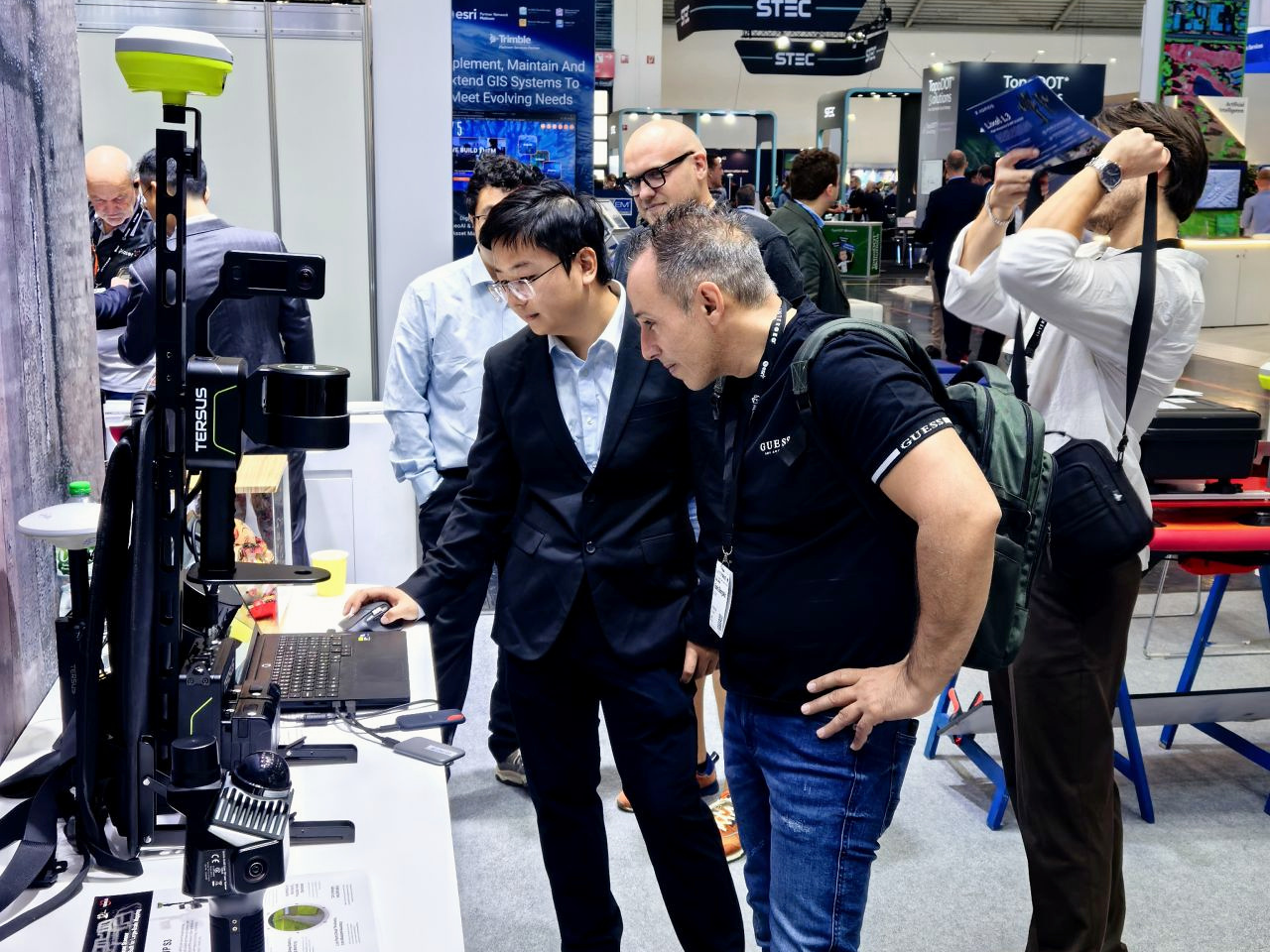
Hands-on discussions connected field equipment, software and visitors’ project requirements.
A first look at Tersus Field
TERSUS unveiled Tersus Field™ at INTERGEO as the successor to Nuwa™. The new field software introduces a rebuilt interface for survey, stakeout, AR stakeout and other tasks, using a consistent interaction approach across the app.
A key feature is the ability to open captuRTK scans directly on the GNSS data collector. Reviewing point clouds while still on site gives operators an opportunity to identify missing coverage before leaving the field. Tersus Field is designed to install alongside Nuwa, allowing users to choose when to switch. At the exhibition, TERSUS announced plans to roll out a beta to distributors in the following weeks.
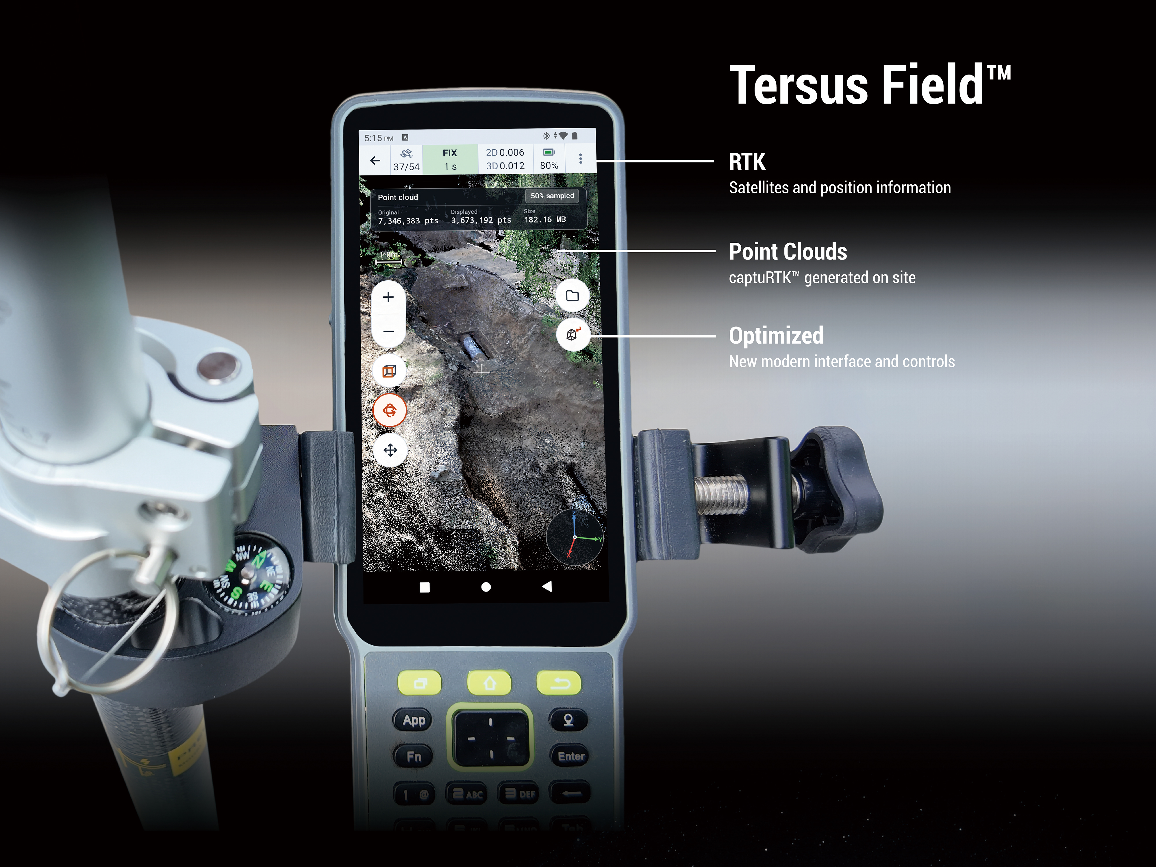
Tersus Field brings captuRTK point cloud review into the field workflow.
From an exhibition booth scan to an editable 3D model
The INTERGEO booth also became a reality capture dataset. Using the MVP S1 handheld SLAM scanner, the team captured the stand as a point cloud and subsequently processed that data through an AI-assisted Scan-to-BIM workflow.
Shared after the exhibition on LinkedIn and YouTube, the demonstration shows an approach to turning captured SLAM data into a structured, editable 3D model for downstream BIM workflows, including formats such as IFC and SketchUp. It illustrates an early exploration of how AI-assisted interpretation and modeling can help connect field capture with usable project data.
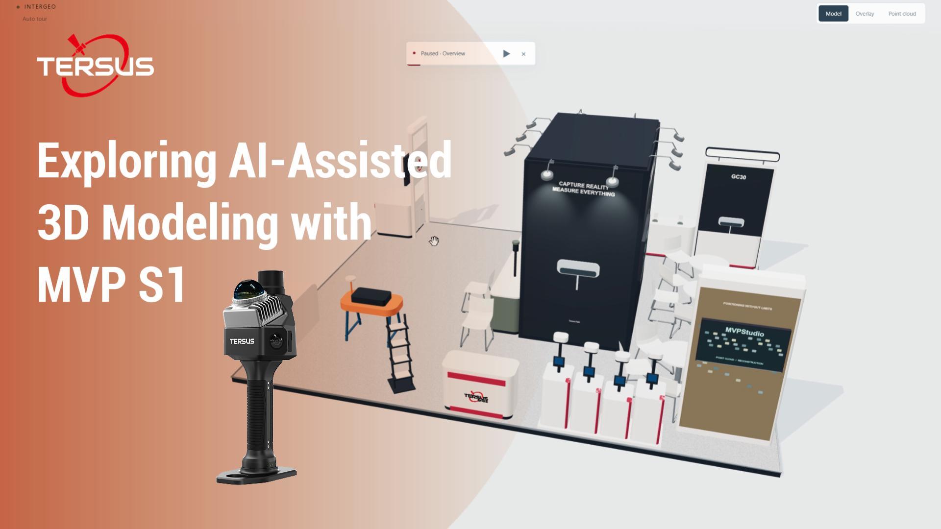
An early AI-assisted Scan-to-BIM demonstration based on the MVP S1 scan of the INTERGEO booth.
Continuing the conversations after Munich
Thank you to everyone who visited the TERSUS booth, joined a demonstration and shared their applications and technical questions. The conversations in Munich reinforced the importance of looking at the complete workflow: how data is captured, how it is processed, and how it can support surveying, AEC and other real-world projects.
Visitors explored surveying and reality capture applications with the TERSUS team.
Watch the highlights and demonstrations
Explore MVP S1 · Explore MVPStudio · View the INTERGEO 2026 event page