Accurate and easy to use
Multiple constellations & frequencies

Visual Positioning Technology


Obstruction Points
Surveyors cannot easily measure, such as building corners, points on a roof or in a trench, etc


Danger Zone
Areas that endanger the safety, such as high-voltage poles, transformers, dangerous buildings, etc


Centimeter Precision
Image point measurement accuracy is 2-4cm within 2m-10m of the object.
Innovative Visual Positioning Technology
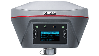
The Oscar Trek GNSS receiver is the first real-time vision surveying GNSS Receiver, which utilises highly innovative Visual Positioning technology based on seamless integration of GNSS, IMU and a camera. With this device, you can measure survey grade points in images on-site and in the office. You don't have to physically reach the point for measurement, just measure what you see.

Accelerate Your Workflow
The Oscar Trek GNSS receiver is a highly efficient surveying receiver that allows you to capture videos and process IMU and GNSS data in real-time. You can easily identify points of interest and measure multiple points simultaneously right after capturing the videos. Additionally, it supports long videos, which makes it ideal for capturing large-scale targets with greater accuracy.

Multifunctional Device
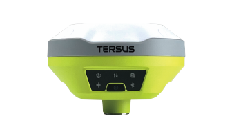
The Oscar Trek GNSS receiver is designed to be user-friendly and convenient. It supports various connectivity options like UHF, 4G, Bluetooth, Wi-Fi, and NFC, allowing you to connect and start surveying quickly. It can track multiple constellations and frequencies with enhanced performance. It comes with two detachable, large-capacity batteries that have power displays. Additionally, it has up to 16GB of memory for long-term storage.

Designed for Fieldwork
The Oscar Trek GNSS receiver is IP68 rated, which means it is dust and water proof. You can use it without worrying about any damage caused by dust or water. It has an industrial-grade design and is extremely durable. It's drop-proof, with the ability to withstand a 2-meter pole drop onto concrete. In addition, it complies with the United States Military Standard of MIL-STD-810G & FIG 514.6C-1, making the device durable and reliable even under the challenging conditions.

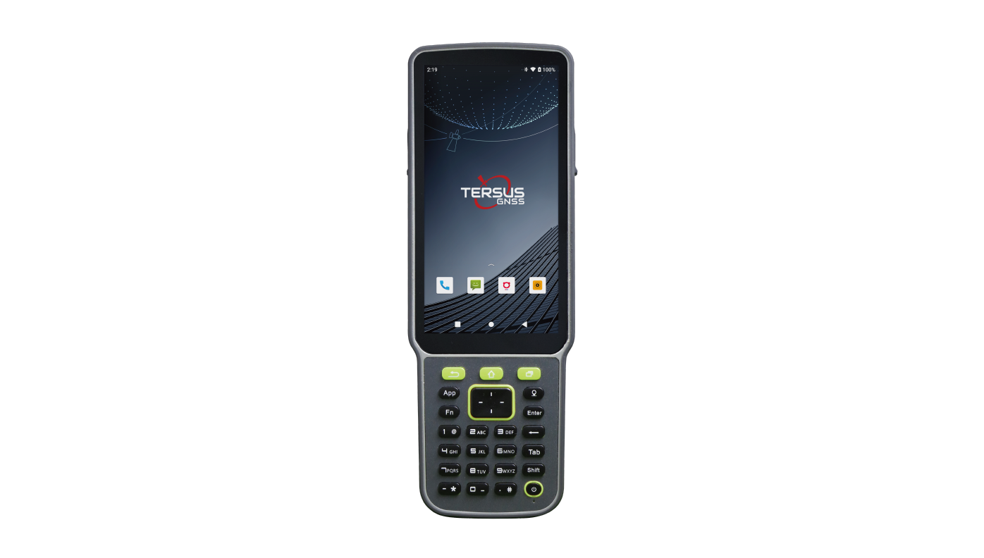
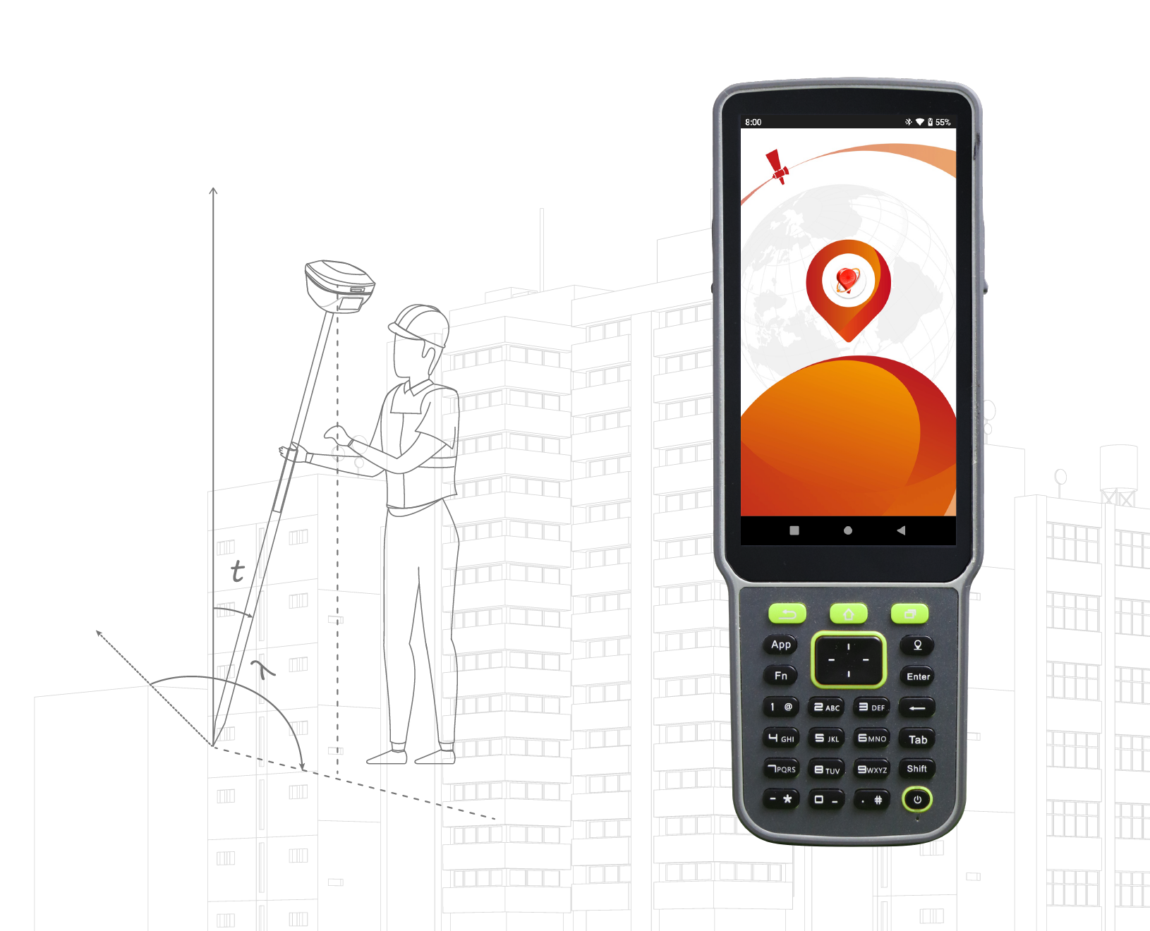
Data Collector and Field Software

The TC80 controller is a rugged multi-function data controller with a 5.5" sunlight-readable HD touchscreen design and alphanumeric keypad. It is equipped with a powerful octa-core processor and Android operating system, perfect for adapting to NUWA app, which is our versatile and FREE survey field software with easy-to-use graphical interfaces and powerful features.
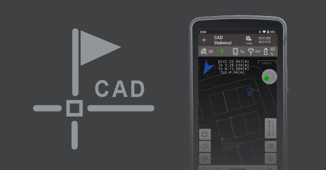
Supports direct import of various types of complex DWG and DXF files for staking of selected points and lines, as well as other more functions such as layer management, block operation, etc.
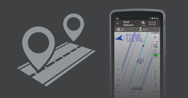
Supports importing, editing and previewing of roads in road management, as well as staking of road centerlines, cross sections and elevations in road stakeout.
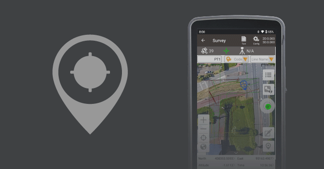
Supports online maps like OSM and Google, as well as imported files like DXF, KML, KMZ and LandXML as base maps.
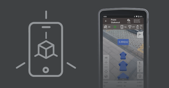
With the excellent tilt compensation of LUKA GNSS receivers, combined with the realistic view, the screen arrow will direct you to the point (without needing to orient to North first) to speed up the field work.
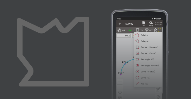
Visualization of graphic measurements, Nuwa will automatically connects the measurement points into the selected graphic, also switch between point survey and line survey based on the type of code.
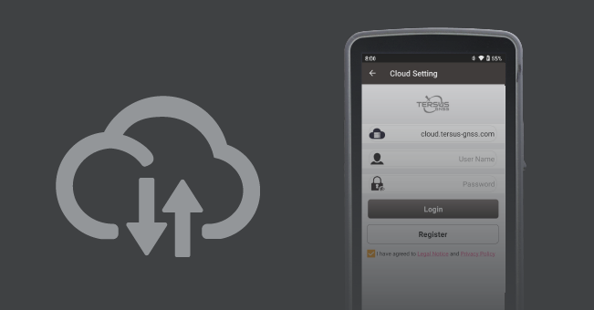
Project data backup and rapid collaboration, supports one-click synchronization of cloud and local data, also supports to export data to cloud, download and open on the desktop.
-
Datasheet_Oscar Trek
Release Date: 2024-04-17 Version:1.2
-
Brochure_Oscar Trek
Release Date: 2024-04-28 Version:1.1
-
Brochure_Oscar_Trek_SPN
Release Date: 2024-07-19 Version:1.0
-
Item List_Oscar Trek
Release Date: 2024-06-18 Version:1.1
-
Item List_Oscar_Trek_SPN
Release Date: 2024-07-19 Version:1.0
-
Quick Start Guide_Oscar Trek
Release Date: 2024-07-03 Version:1.1