Tersus GeoCaster
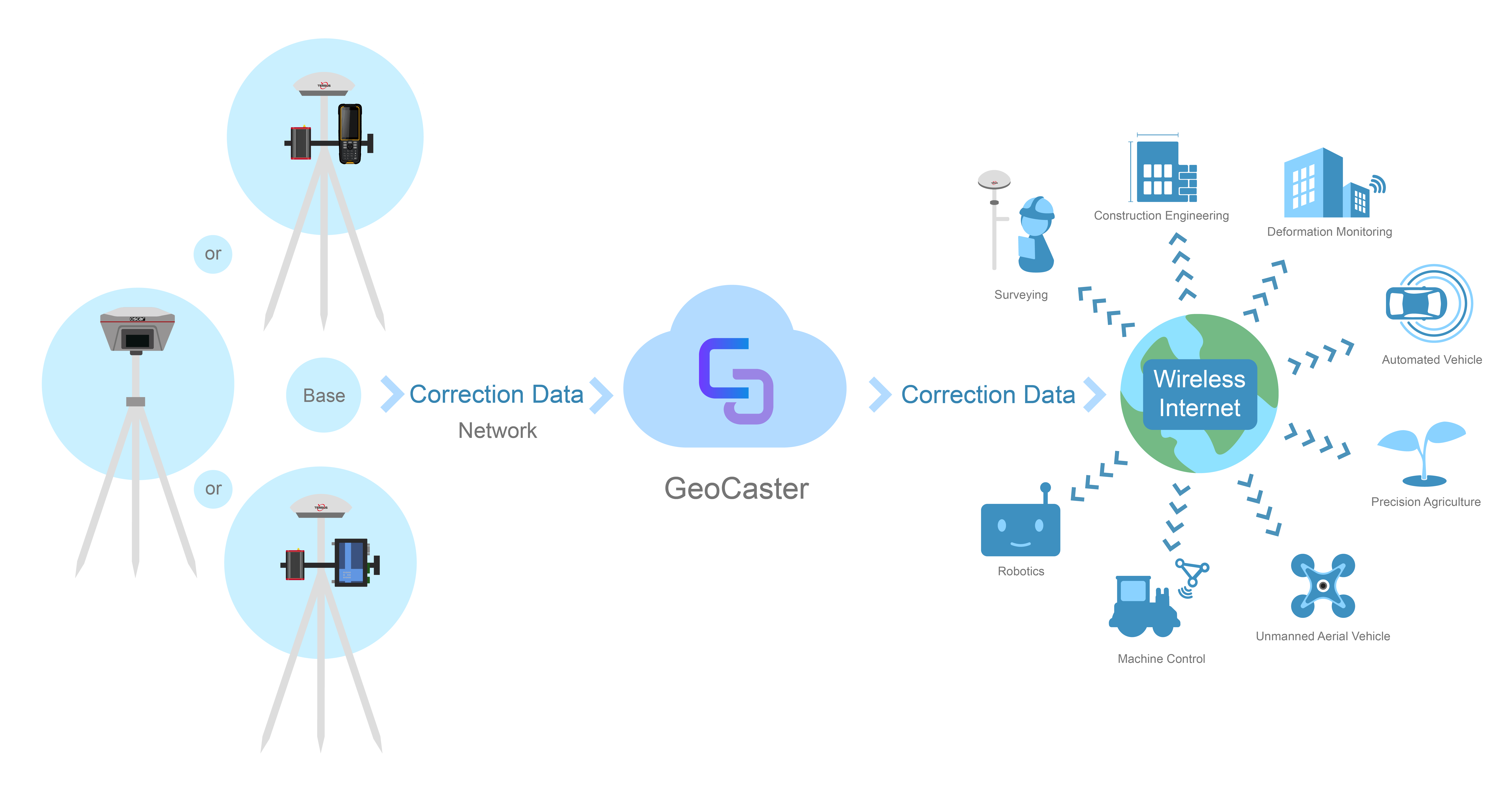
The Tersus GeoCaster is a Networked Transport of RTCM via Internet Protocol (NTRIP) Caster software which allows GNSS correction data such as RTCM corrections to be repeated and sent to different end users via internet.

Tersus GeoCaster
The Tersus GeoCaster is a Networked Transport of RTCM via Internet Protocol (NTRIP) Caster software which allows GNSS correction data such as RTCM corrections to be repeated and sent to different end users via internet. It supports configurable bases online simultaneously and configurable rovers for one base. The end users involve in various areas including surveying, construction engineering, deformation monitoring, automated vehicle, precision agriculture, Unmanned Aerial Vehicle, machine control, robotics, and etc.
Features
Documents
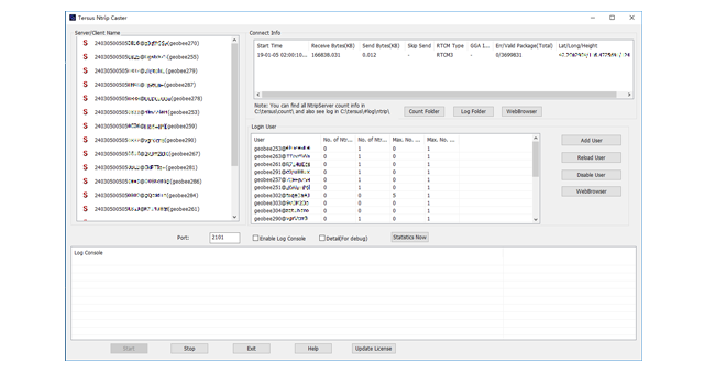
User-friendly interface
Supports Ntrip protocol
Various end users for different applications
Supports multiple bases online simultaneously
Supports multiple rovers for one base
Supports real-time review of detailed statistics
-
Datasheet_GeoCaster
Release Date: 2019-01-18 Version:1.0
-
User Manual_GeoCaster
Release Date: 2022-02-17 Version:1.2
Related Products
GNSS Smart Antennas
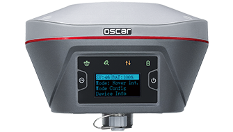
Oscar GNSS Receiver
Controllers
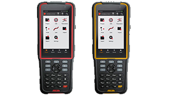
TC20 Controller
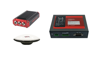
GNSS Reference Networks
Tersus GeoBee
Sign up for free demo and trial
Sales Inquiry