Ever Wonder How LiDAR "Sees Through" Forests?
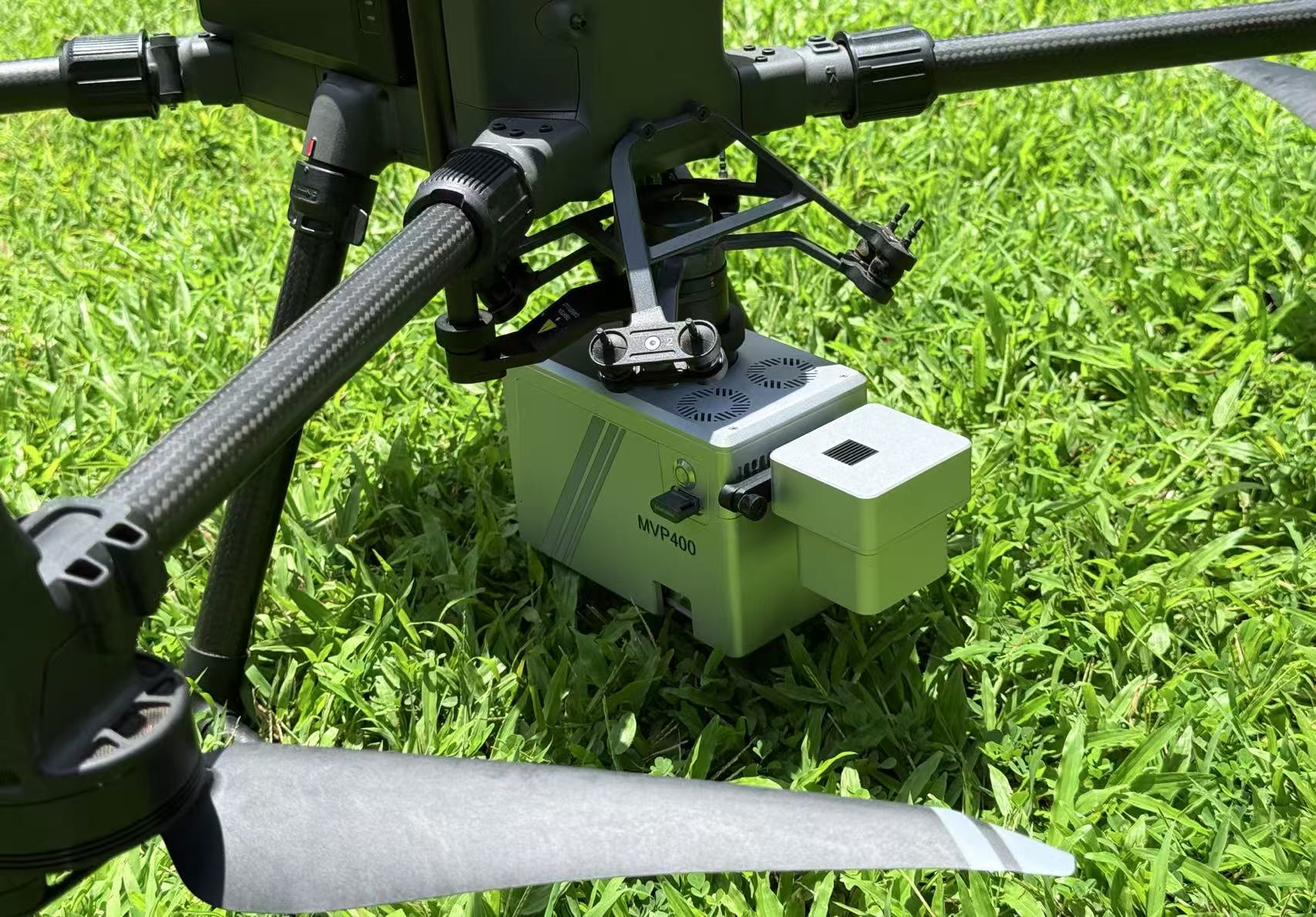
Let's Talk Tersus MVP 400!
Peter Yang, Tersus GNSS 25 July, 2025
"Can your LiDAR see through buildings?" This is one of the most common questions we get! And trust me, it's a great question, but also one of the biggest misconceptions about LiDAR. So, let's clear it up in a friendly chat!
First things first: No, our Tersus MVP 400 (or any LiDAR for that matter!) isn't an X-ray machine. It can't magically see through solid walls, concrete, or the entire structure of a house. Think of it more like a super-smart flashlight that's incredibly good at finding tiny gaps and bouncing light back.

So, what do we mean by "penetration" then? It's all about how our MVP 400 cleverly works with light:
1.Laser Wavelength & Less Scattering! You know how sometimes when it's foggy or dusty, it's hard to see clearly with your eyes or a phone camera? That's because visible light gets scattered everywhere. Our MVP 400 uses a special near-infrared laser (specifically 1550nm). This wavelength is much better at cutting through things like light rain , thin fog, or even just the gaps between leaves and branches. It's like having a more focused beam in slightly hazy conditions.
2. Lots of Tiny Shots, Many Chances to Get Through! Imagine shining a super-fine laser pointer thousands of times a second. That's kind of what our MVP 400 does! It blasts out an incredible amount of laser pulses – up to 1,000,000 pulses per second (1000 kHz PRF)! When you're flying over a dense forest, many of these tiny, focused laser beams are constantly looking for those little openings between leaves and branches. With so many chances, a lot of them will find their way through to the ground or whatever's hidden underneath.
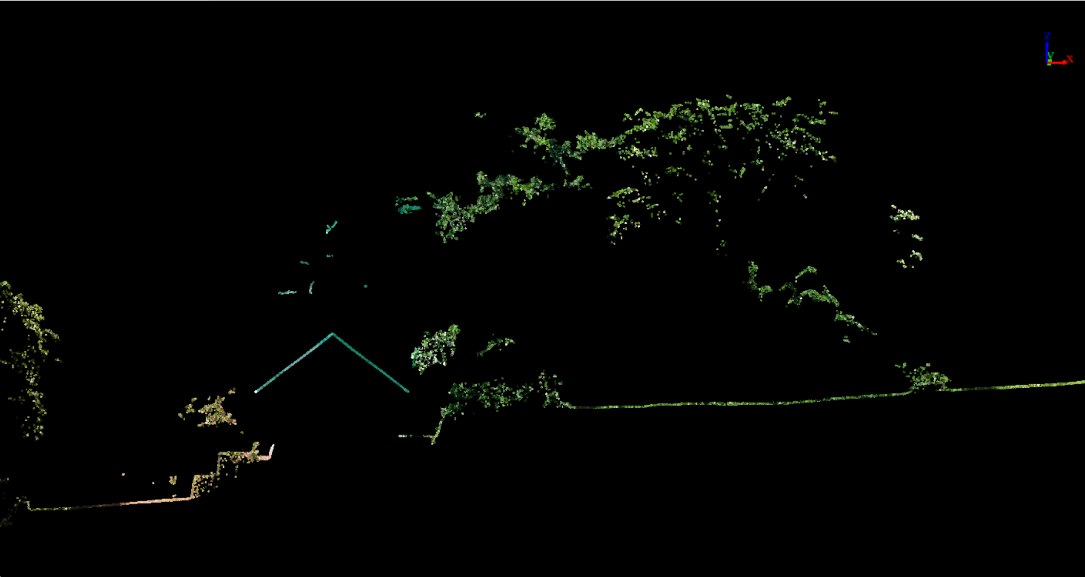
3. The MVP 400's Secret Weapon: 7 Echo Returns! This is truly the "magic" part! When one of those laser pulses hits something like a tree , it doesn't just hit the first leaf and stop. Our MVP 400 is smart enough to detect up to 7 different reflections (or "echoes") from that single laser pulse!
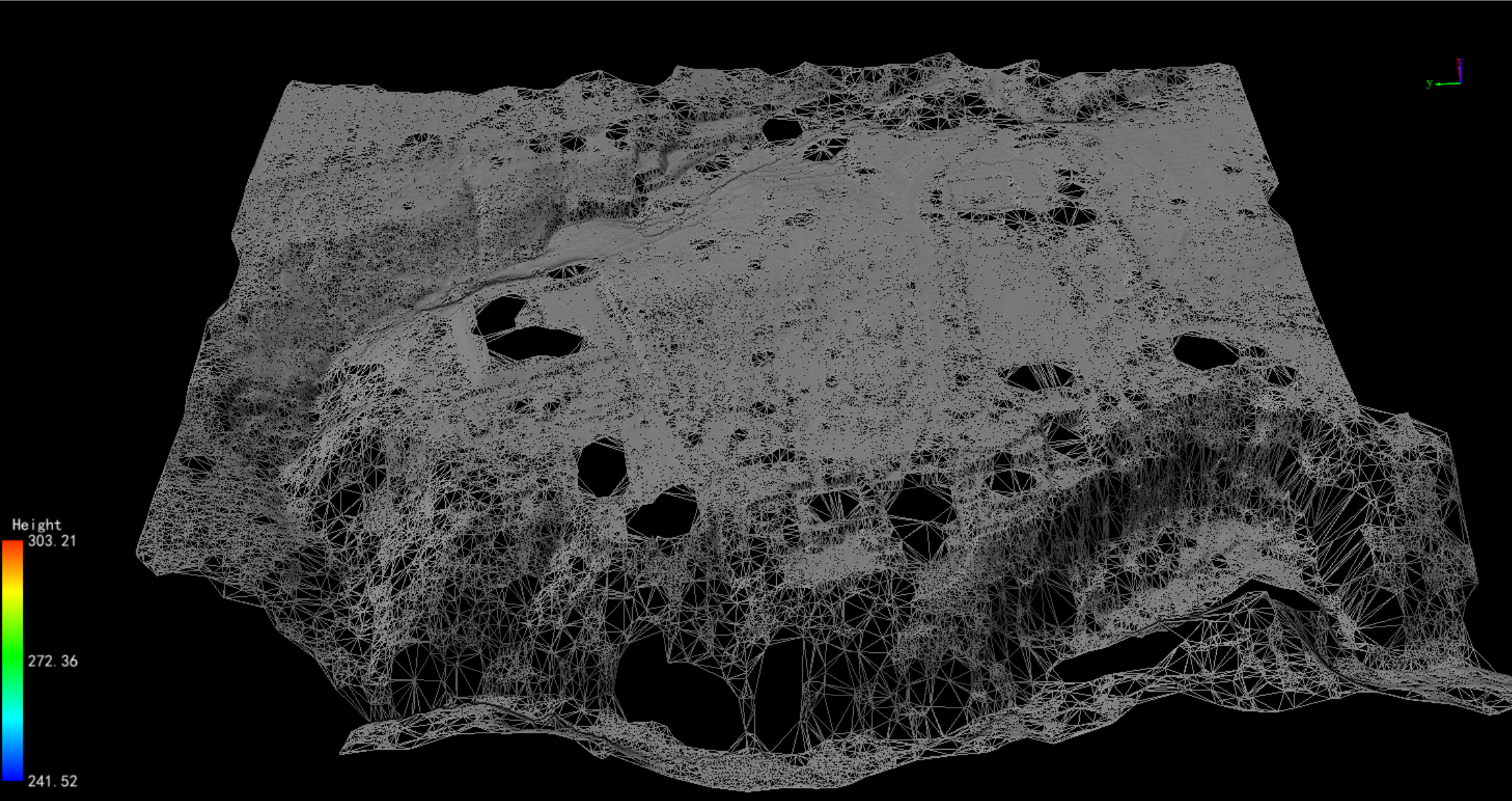
 -ground point to TIN-

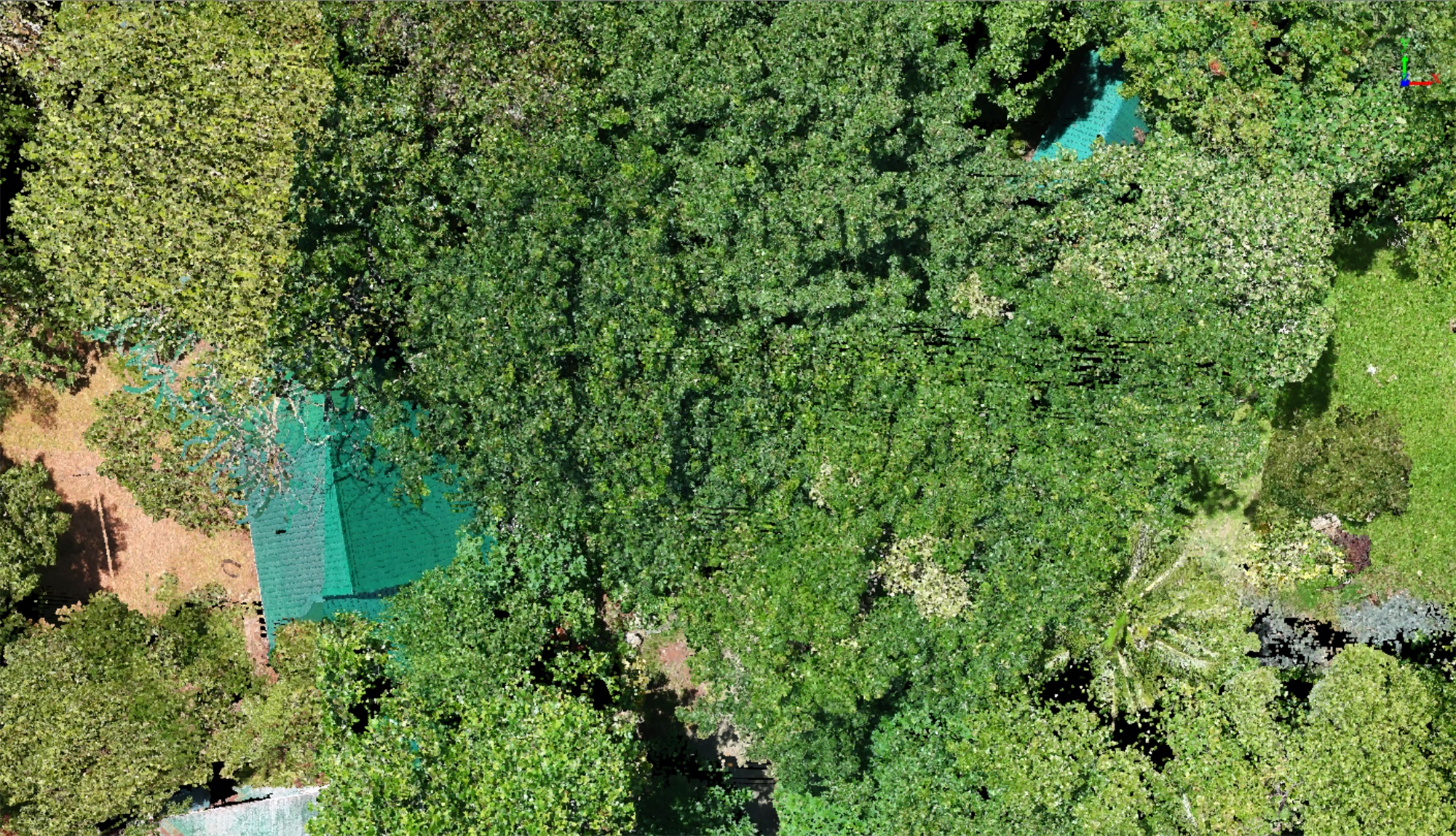
-MVP 400 point clould-
So, why is our MVP 400's "Penetration" so special?
• Seven Echoes?! Yes! This is pretty amazing. It means we can pull out those crucial ground points even from super dense forests – something most systems can't do nearly as well. You get clearer, more reliable data for terrain modeling.
• Million Pulses a Second! That insane pulse rate (up to 1000 kHz) means we're constantly bombarding the area, ensuring maximum opportunities for those lasers to find gaps and give you detailed data under the canopy.
• 1550nm Laser: This wavelength is great for cutting through atmospheric conditions, giving you more consistent performance.
Bottom line: While we can't X-ray your house (sorry! ), the Tersus MVP 400 is an absolute beast зверь when it comes to mapping challenging landscapes, thick forests, and areas with dense vegetation. It gives you the precise, ground-level data you need, even where traditional methods simply can't reach.

Curious to see what your project area really looks like? Let's chat about the Tersus MVP 400!
About Tersus GNSS Inc.
Tersus GNSS is a leading Global Navigation Satellite System (GNSS) solution provider. Our offerings and services aim to make centimeter-precision positioning affordable for large-scale deployment.
Founded in 2014, we have been pioneers in design and development GNSS RTK products to better cater to the industry’s needs. Our portfolios cover GNSS RTK & PPK OEM boards, David GNSS Receiver, Oscar GNSS Receiver, MatrixRTK [GNSS CORS Systems] and inertial navigation systems.
Designed for ease of use, our solutions support multi-GNSS and provide flexible interfaces for a variety of applications, such as UAVs, surveying, mapping, precision agriculture, lane-level navigation, construction engineering, and deformation monitoring.
Sales inquiry: sales@tersus-gnss.com
Technical support: support@tersus-gnss.com
